
Forte Marghera is one of those places where Mestre changes pace: the city opens up, water becomes visible again and military memory surfaces without monumentality. Born as a strategic garrison between the mainland and the lagoon, today it preserves bastions, moats, casemates and large green spaces that tell of a mobile, defensive and urban boundary. Visiting it means reading a threshold: not only between Venice and Mestre, but between different functions, overlapping times and everyday uses that have transformed a military infrastructure into a public landscape to be crossed slowly.
A threshold between city, water and mainland
Forte Marghera is understood first of all as an edge: it is not fully Mestre, it is not yet Venice, it is not only countryside nor only lagoon. It stands where the mainland narrows toward the water, near the Canal Salso, the ancient navigable route that connected Mestre to the lagoon basin. For this reason its presence is not accidental: the fort controlled a sensitive crossing point, where men, goods and troops could approach the island city.
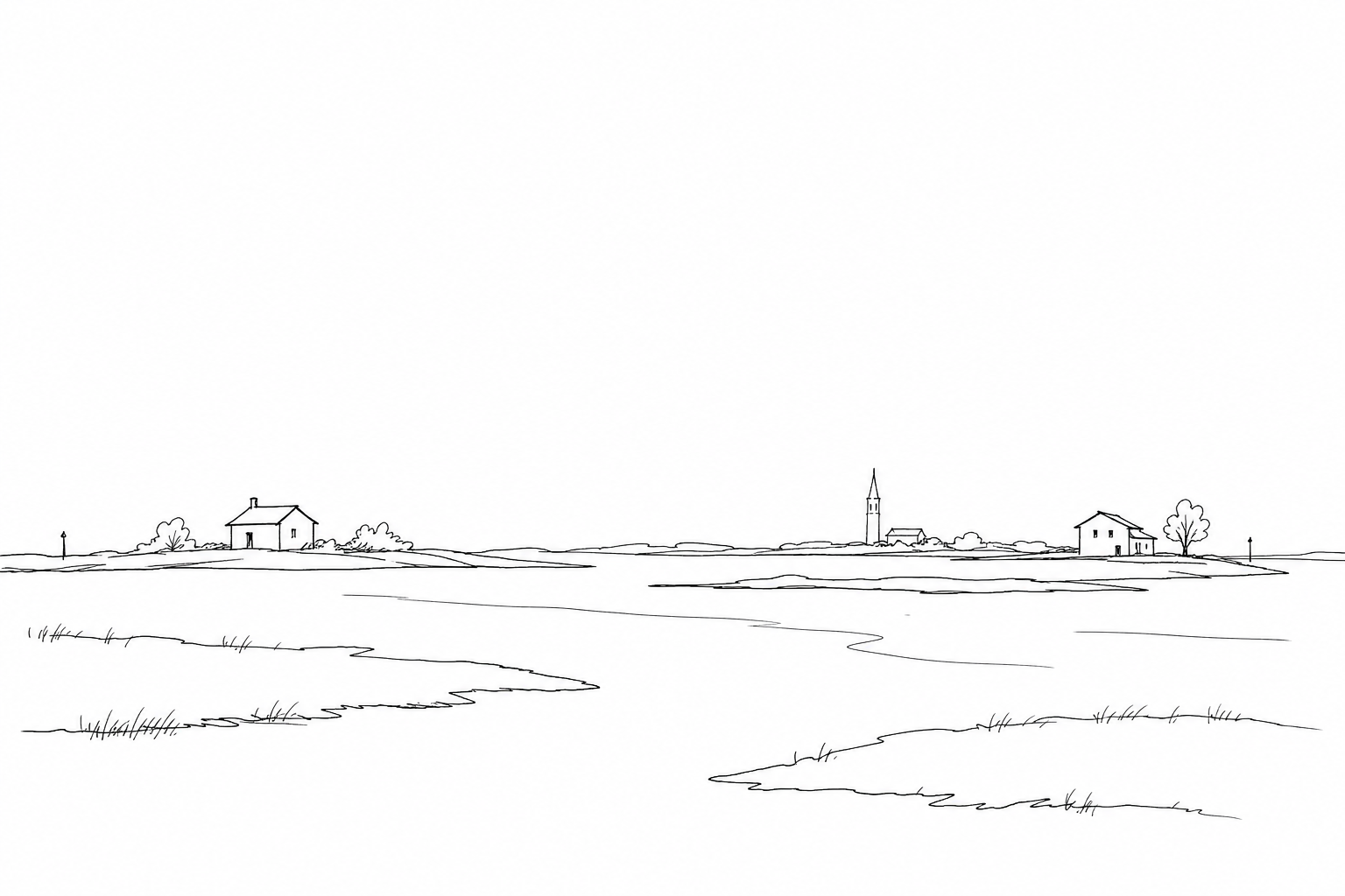
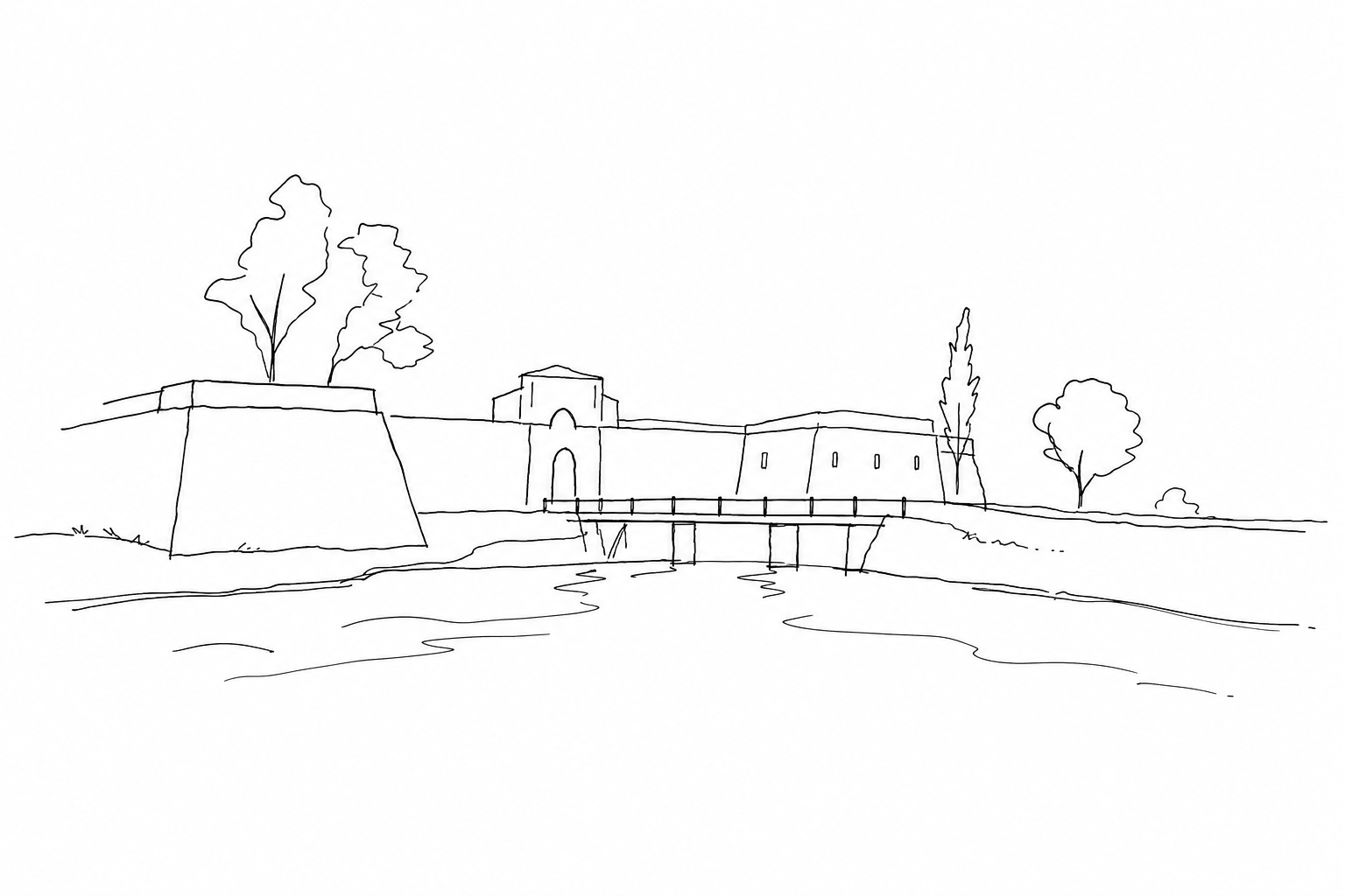
The nineteenth-century military form, with moats, embankments, curtains and internal spaces organized for defense, today appears immersed in vegetation that softens its harshness. Precisely this contrast makes Forte Marghera a green threshold: a place where defensive architecture remains legible, but is crossed by trees, stagnant water, pedestrian paths and sudden openings toward the lagoon landscape.
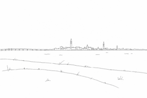
Entering the fort therefore means reading Mestre from its historic edge: a city that looks toward Venice, but preserves here an autonomous military, urban and environmental memory.
From the defense of Venice to the system of forts
Forte Marghera was created at the beginning of the nineteenth century, in the Napoleonic era, as a response to a precise problem: protecting Venice from the mainland side, where modern artillery made the lagoon defenses alone insufficient. Its position was not accidental: it controlled the passage toward the bridge and the access routes, transforming a geographical edge into a military machine.
The structure, later also used and adapted by the Austrians, anticipates the subsequent Entrenched Camp of Mestre, the belt of works that between the nineteenth and twentieth centuries would surround the area with batteries, casemates and advanced positions. In this system, the Marghera complex functioned as the main node: not an isolated fortress, but the pivot of a distributed defense.
Reading its bastions, moats, powder magazines and service buildings today helps one understand an essential logic: modern warfare was no longer fought only on historic walls, but along broad lines capable of integrating territory, canals, roads and sightlines.
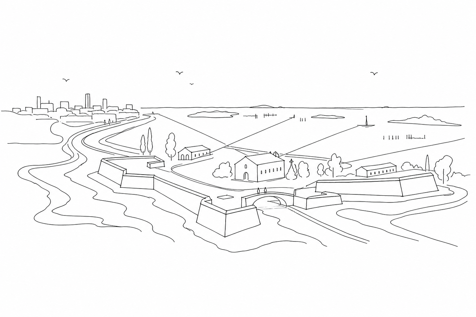
Reading bastions, moats and open spaces
At Forte Marghera the landscape is not a backdrop: it is part of the work. To orient the gaze, it is useful to start from the perimeter, where the low, elongated embankments replace the idea of the vertical wall. The choice was not aesthetic, but technical: to offer less of a target to artillery and use the mass of earth as protection.
The moats, today also perceived as green and wet elements, served to slow the approach and separate the different lines of the enclosure. Bridges, openings and internal axes therefore tell of a precise hierarchy: access, control, distribution toward barracks, depots and yards.
The open spaces are just as important as the buildings. The internal clearings allowed maneuvers, accumulation of materials and free sightlines; today they help to read the passage between Mestre and the lagoon without erasing the war memory of the place. Walking along the edges, one grasps how architecture, vegetation and water build a threshold: not an isolated monument, but a territorial device still legible in its forms.
How to include it in a slow visit to Mestre
For a short stay, the area works best as a hinge stage, not as a marginal detour. One can devote an unhurried walk to it before or after the twentieth-century center: on one side Piazza Ferretto and the shopping streets, on the other the lagoon edge toward San Giuliano. In this way the passage clarifies why the nineteenth-century complex was born precisely here, where roads, canals and low-lying land allowed control and connection.
The recommended rhythm is simple: enter with enough time to read the external volumes, pause on the lawns, then look for the most evident artifacts — barracks, powder magazines, bridges, moats — without turning the visit into a list. The green surfaces also help those who have only a few hours: they offer a real pause, while keeping the memory of use visible, between defensive geometries and cultural reuses.
Before setting off, it is prudent to check access, any exhibitions and updated connections. On site, comfortable shoes and daylight are advisable: the value of the experience lies above all in the relationship between distances, vegetation and built remains.
Including Forte Marghera in a visit to Mestre allows one to observe the lagoon from a less obvious point, where history is not separated from everyday life. The routes among trees, canals, disused buildings and reused spaces help to understand how much the defense of Venice also shaped the mainland. It is not a scenic detour, but a place to walk through with attention: to recognize military geometries, traces of water and urban transformations that make this green threshold a discreet key to reading Mestre and its relationship with Venice.
Related Posts
Sant’Andrea and Sanmicheli’s fort: the military gate of the lagoon that controlled the sea
History, architecture and interpretation of the fort of Sant’Andrea, a lagoon outpost designed by Michele Sanmicheli.Parco San Giuliano: looking at Venice from the mainland without feeling outside history
A route through the park in Mestre overlooking the lagoon, where Venice can be read from afar but remains part of the same urban history.
The Venice Arsenal: the place where the Serenissima built its power
History, spaces and meaning of the Arsenal, the productive and military heart of maritime Venice.Questions Answered
What is Forte Marghera and where is it located?
A nineteenth-century fort between Mestre and Venice near the lagoon.Why was Forte Marghera originally built?
To protect Venice from mainland attacks with a strategic military position.How has Forte Marghera been transformed today?
It has become a green public space blending military structures and nature.How can visitors best experience Forte Marghera?
By a slow, unhurried walk noting bastions, moats and open green areas.
Keep exploring Mestre and Venice
Want to see how the mainland, lagoon and historic centre connect from a few different angles?
 M9 in Mestre: the museum of the twentieth century for understanding the city before and after VeniceA route for reading M9, central Mestre and the relationship with Venice through history, architecture and everyday life.
 Parco San Giuliano: looking at Venice from the mainland without feeling outside historyA route through the park in Mestre overlooking the lagoon, where Venice can be read from afar but remains part of the...
 Hidden St. Mark’s lions: where to look for Venice’s symbol away from the flagsA guide to the less obvious St. Mark's lions: reliefs, coats of arms, stones and façades to observe among calli, campi and...
 Mestre city center after Venice: Piazza Ferretto, porticoes and the return to the everyday cityA slow return from Venice to Mestre city center: Piazza Ferretto, porticoes, Civic Tower, M9 and everyday rhythm.