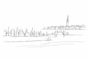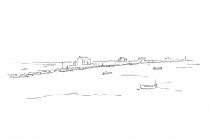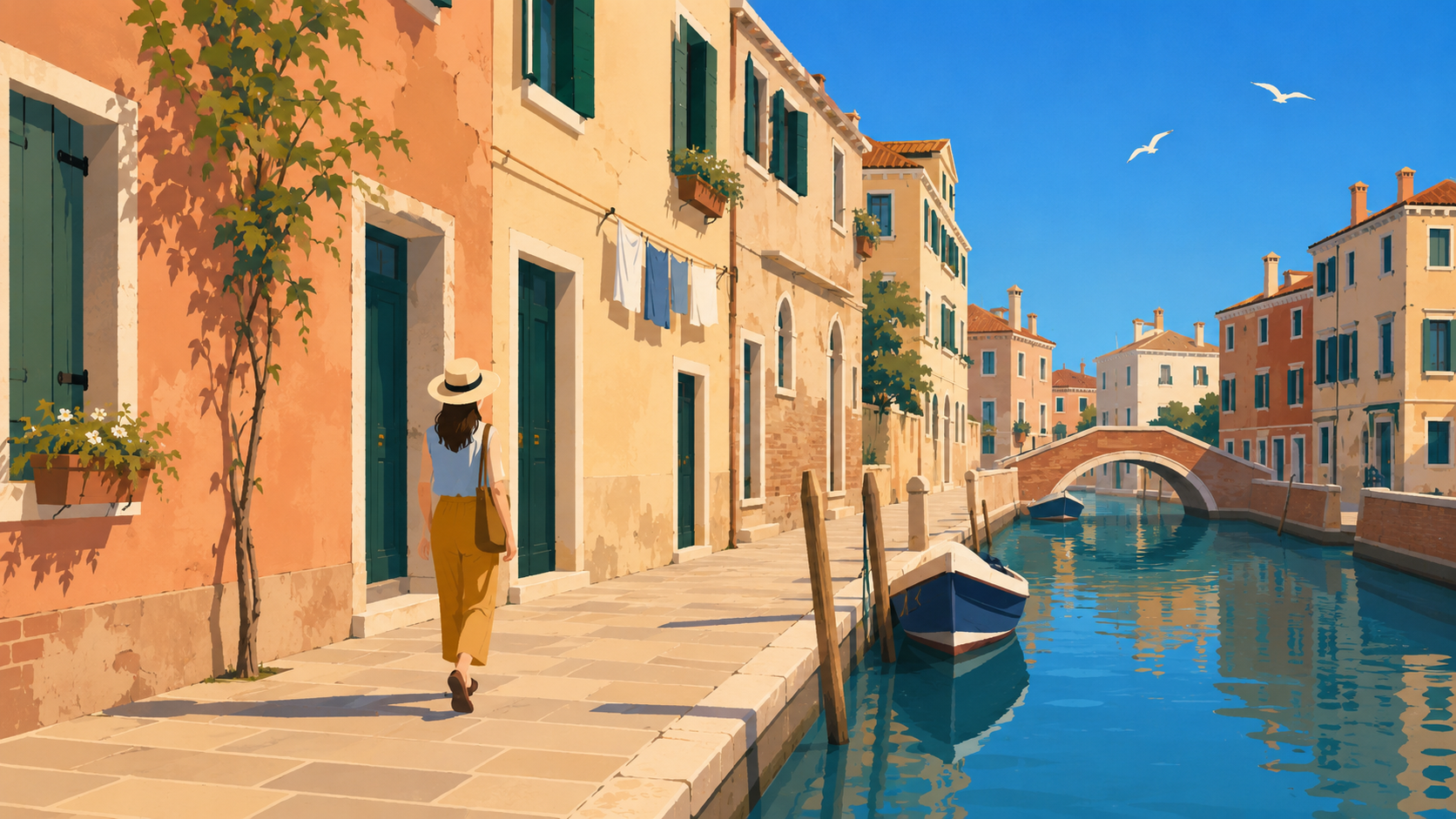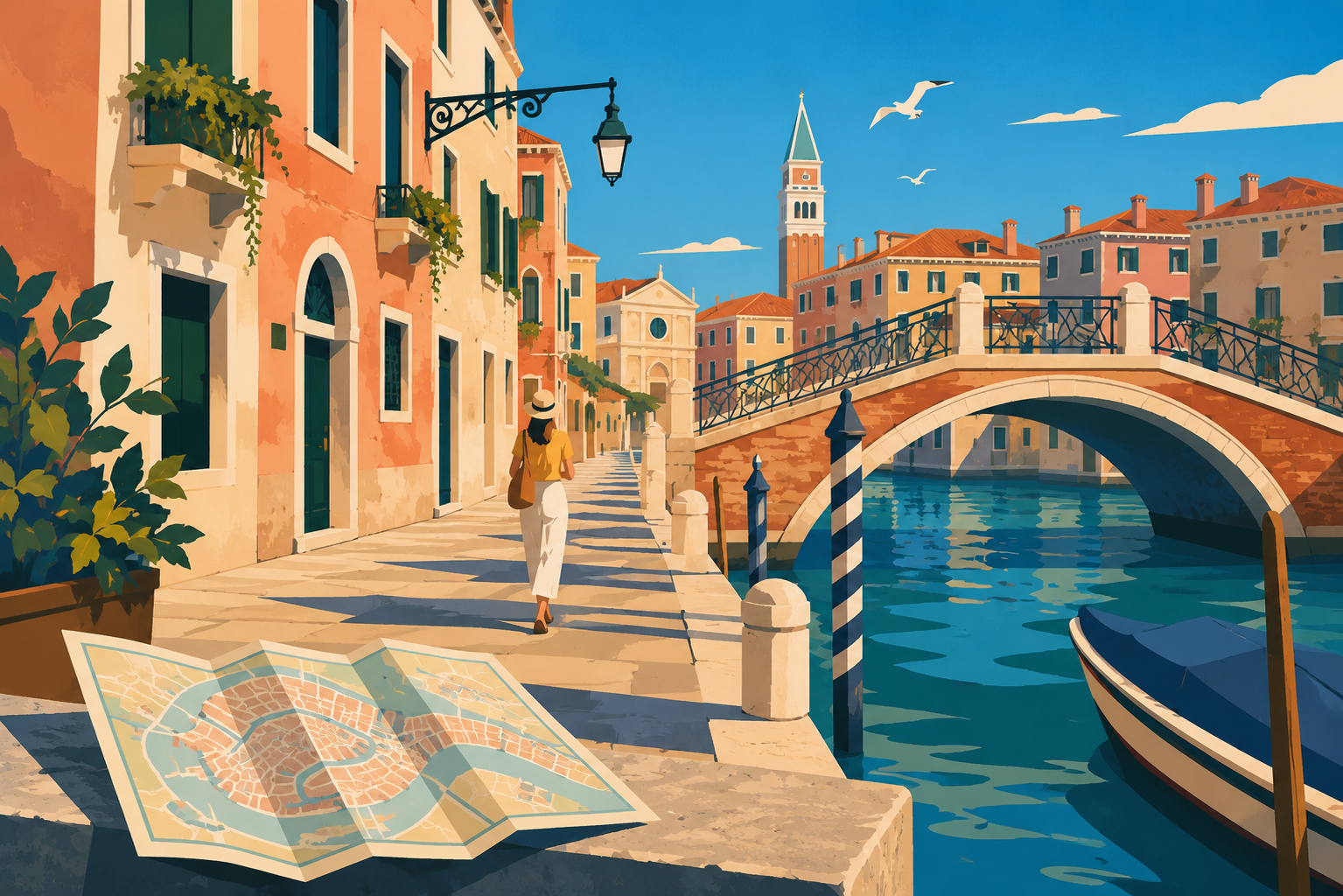

Treporti is one of those places where the lagoon is not observed from afar, but measured at the margins: along a road that runs between vegetable gardens and canals, in front of an embankment, between a low house and a cultivated field. Here the land is never a definitive given; it is a surface conquered, tended, defended from the water and at the same time crossed by it. Looking at Treporti and its thin islands means reading a border landscape, where the history of the Venetian lagoon emerges in everyday details: in the water passages, in the salt marshes, in the fishing valleys, in the discreet forms of dwelling.
Where the land ends and the lagoon begins
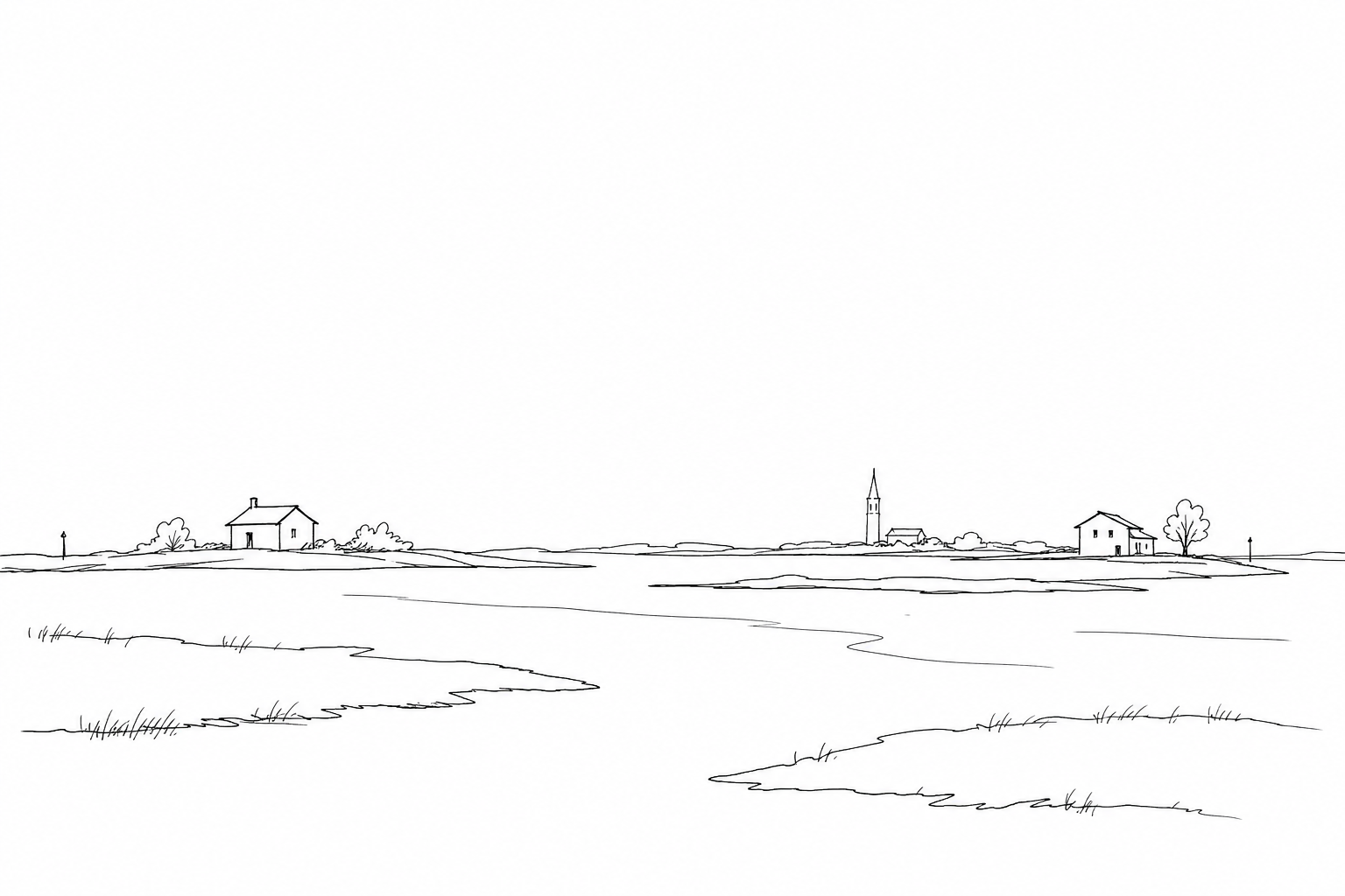
Treporti is a threshold more than a simple village: it lies at the point where the Cavallino peninsula narrows and the northern lagoon takes over the shape of the mainland. Here the border is not a clear line, but a sequence of embankments, canals, salt marshes, vegetable gardens and fishing valleys that change appearance with the light and with the tide.
Looking at Treporti means reading a geography of the margin. On one side there is the coastal strip facing the Adriatic; on the other opens a landscape of internal water, dotted with small inhabited nuclei, landings, isolated bell towers and routes toward Lio Piccolo, Saccagnana and the low islands of the northern lagoon. The land appears thin because it is continually negotiated: defended by embankments, cultivated in the fields, interrupted by canals, left to breathe in the salt marshes.
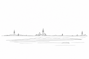
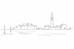
In this area one understands that the lagoon is not only Venice seen from afar, but a fragile system of passages: between fresh and brackish water, between fishing and agriculture, between stable settlements and mobile landscapes.
Treporti: a village of waters, vegetable gardens and passages
To understand Treporti, it is not enough to look at the houses: one must follow the banks, the vegetable gardens and the waterways that for centuries have shaped the village. The name is often traced back to the idea of three landing places, and even without forcing the etymology it tells its function well: not a closed center, but a node of passage between canals, countryside and thin islands.
Here daily life was long mixed. Families cultivated the vegetable gardens of Cavallino, fished in the internal waters, transported goods and people toward Venice and toward nearby communities. Boats were not a picturesque detail, but tools of work: they were used to reach fields, fishing valleys, markets and parishes.
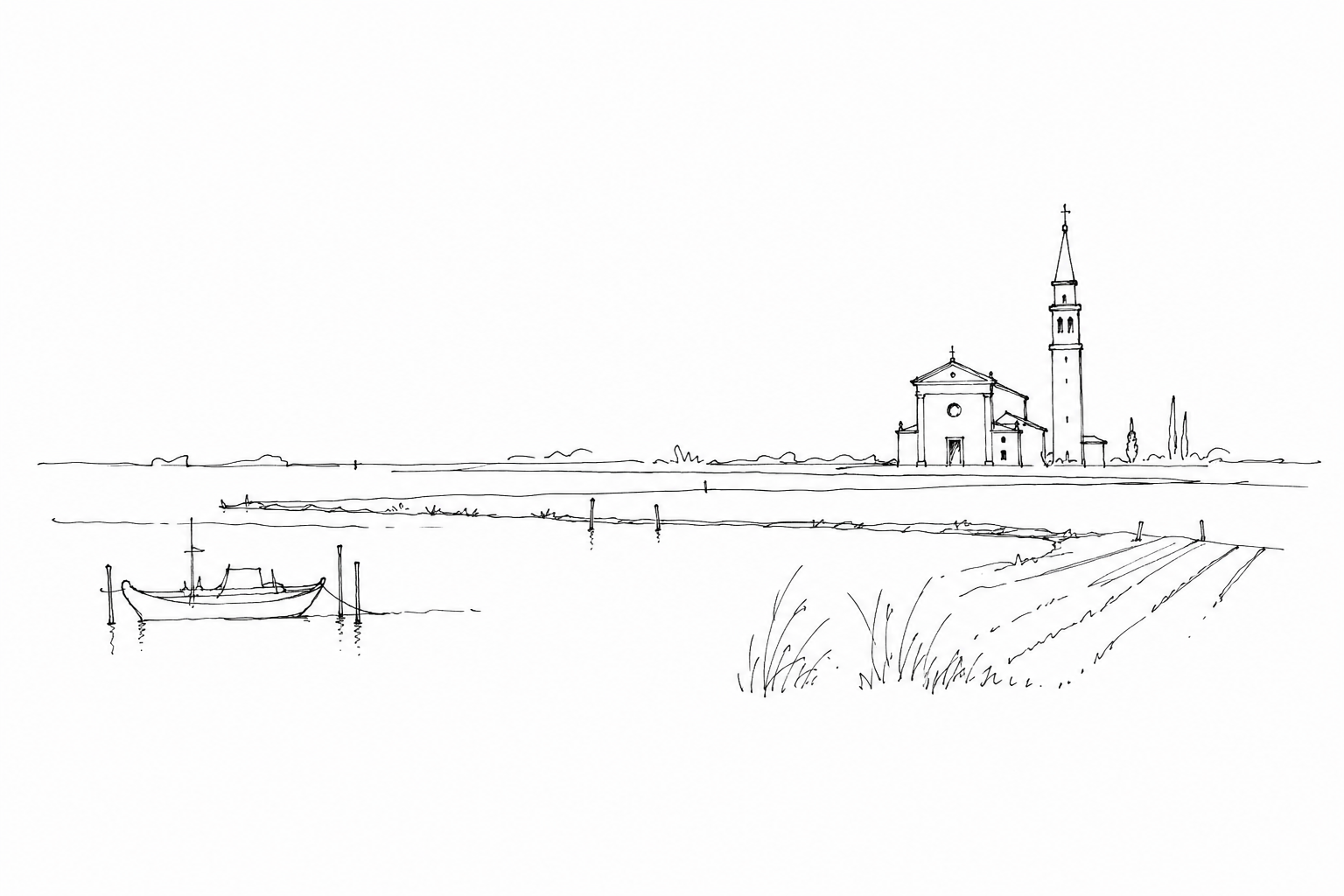
The bell tower and the church of the Santissima Trinità still mark a point of recognition in a low landscape, where orientation comes more from the canals than from the squares. Treporti thus shows a concrete local history: the northern lagoon was inhabited also by farmers, fishermen and boatmen, not only crossed by travelers.
The thin islands: salt marshes, fishing valleys and unstable lands
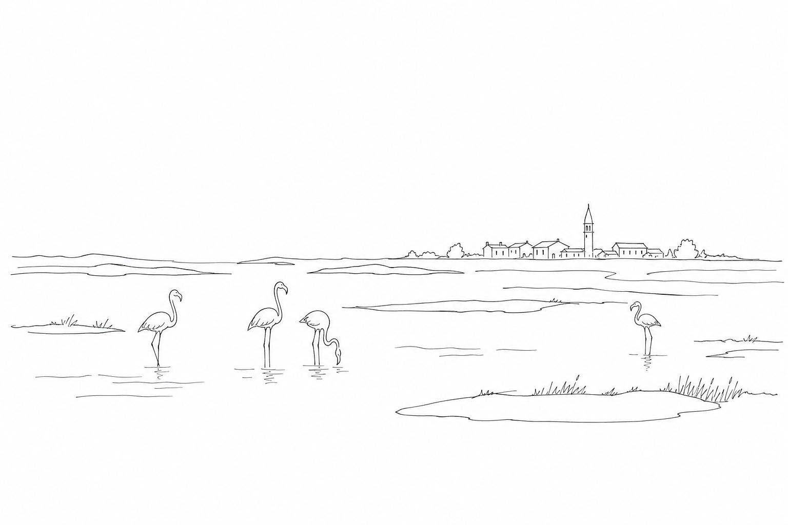
Around Treporti the land is not a clear line, but a sequence of thresholds: salt marshes, tidal flats, low embankments, small canals. The salt marshes are slightly raised brackish surfaces, submerged during the highest tides and recognizable by vegetation resistant to salt, such as glasswort and sea lavender. The tidal flats, by contrast, emerge especially at low tide: they look like muddy voids, but they are decisive areas for birds, mollusks and the circulation of sediments.
Observing these strips means reading the functioning of the northern lagoon. The ghebi, small water furrows that cut into the salt marshes, distribute the tide like capillaries; the embankments of the enclosed fishing valleys instead show the human attempt to separate, regulate, retain. Here nature and work are not opposed in a simple way: every margin tells of a continuous negotiation between fresh water, salt water, wind, mud and maintenance.
For this reason the thin lands are more instructive than broad views: they reveal how fragile and concrete the balance is, made of a few centimeters of elevation and of passages that change shape over time.
How to look carefully at Treporti
To read Treporti it is best to proceed slowly, as before a nautical chart made of houses, ditches and fields. The first clue is the orientation of the roads: many follow ancient embankments or water routes, so they do not draw a regular grid but prudent curves, suited to ground conquered and defended in stretches.
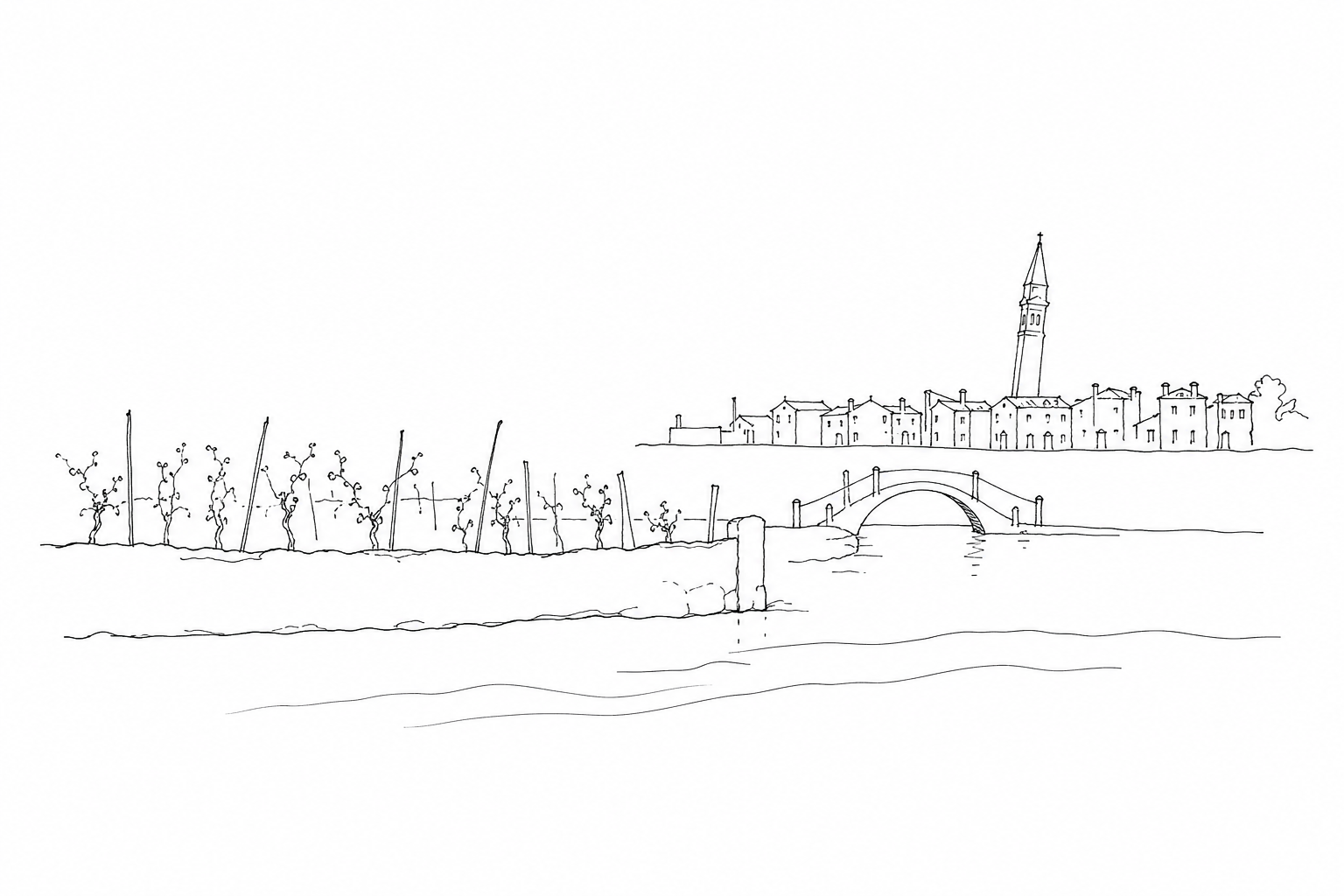
Then observe the margins: a low bridge, a sluice, a reinforced bank say more than a viewpoint. They are points where one understands how fresh water, tide and agricultural work had to coexist. Even the scattered houses, often set back from the canals, tell of a practical choice: living near the waterways, but not too exposed.
Another useful detail is the bell tower of the Santissima Trinità, a vertical reference in an almost horizontal landscape. It serves as a visual compass and recalls that here the community organized itself around small nuclei, connected more by passages and landings than by monumental squares.
Understanding Treporti requires time and attention more than a list of things to see. It is a territory that speaks through relationships: between water and land, agricultural work and lagoon culture, minor routes and great environmental balances. The thin islands, the salt marshes and the fishing valleys are not picturesque backgrounds, but living parts of a fragile and precise system. Stopping to observe these margins helps to read the lagoon with a less hurried gaze: not as a simple setting for Venice, but as an inhabited, transformed and continually negotiated space, where every border tells of a form of adaptation.