
Tronchetto is one of Venice’s least-told thresholds: not a postcard, but an island built to make the city work. Created in the twentieth century as a concrete response to the problem of road access, it concentrates parking areas, terminals, landing stages and passages that mark the boundary between the mainland, the lagoon and the historic center. Looking at it carefully means reading an essential side of Venice: that of infrastructure, daily flows, and urban choices that often remain outside the visitor’s gaze.
What Tronchetto is, and why it exists
Tronchetto is an artificial island at the western end of Venice, created in the second half of the twentieth century for a very concrete function: to receive what the historic city cannot absorb, above all cars, coaches and part of the service flows. It is, in essence, a logistical threshold between the mainland and the city on water.
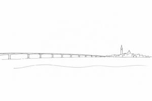
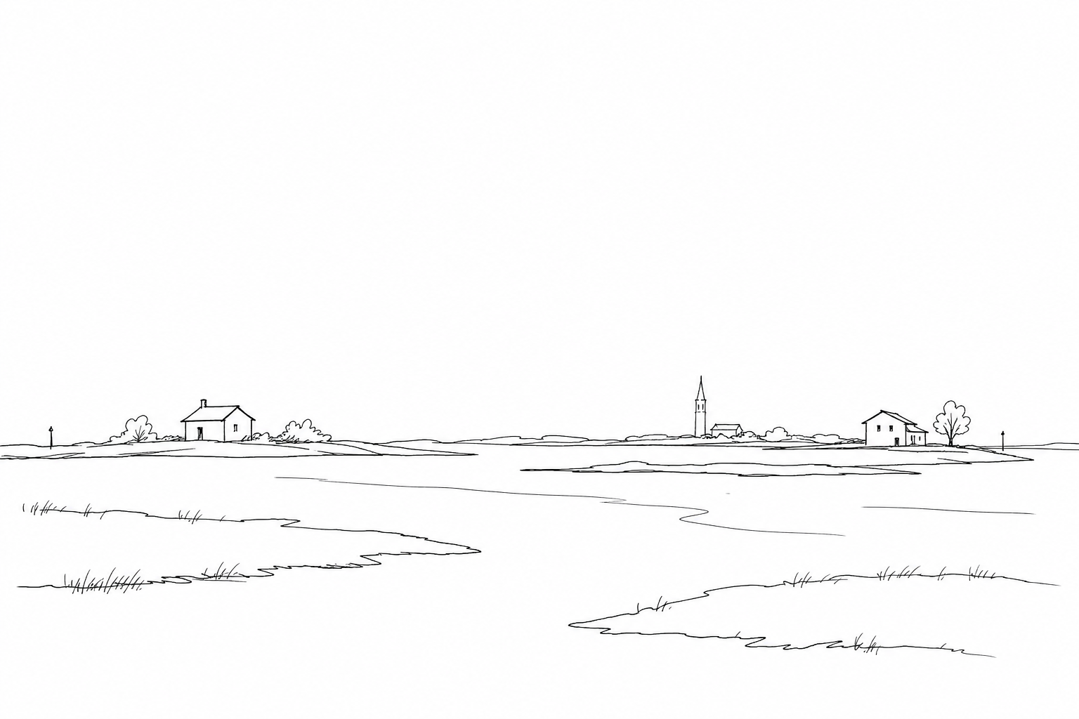
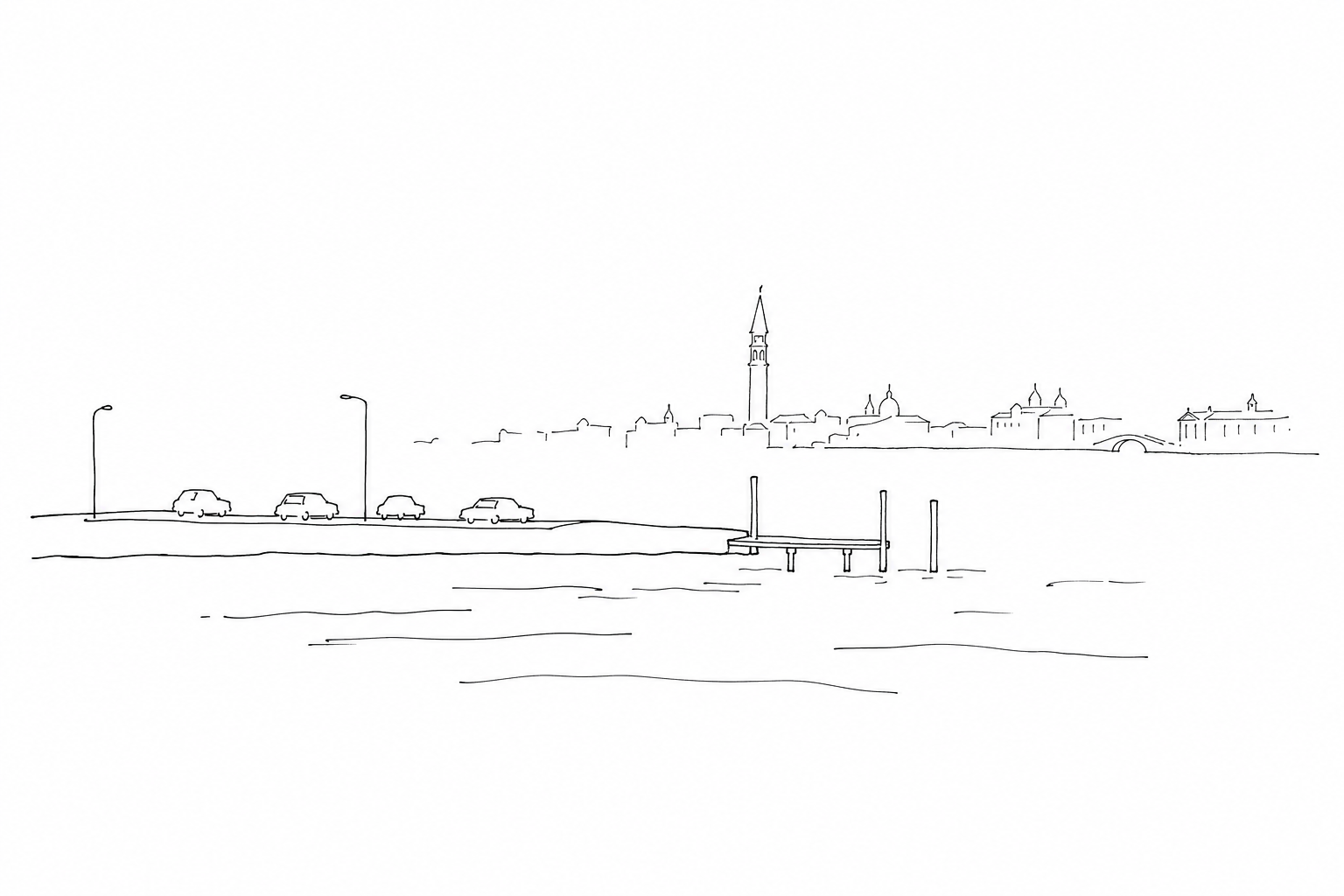
Its construction, begun in the 1960s on areas of salt marsh and transformed lagoon margins, responded to a problem that had become evident: road traffic reached the lagoon through the Ponte della Libertà, but Venice had no internal streets into which to distribute it. Tronchetto was therefore conceived as a large stopping and sorting device.
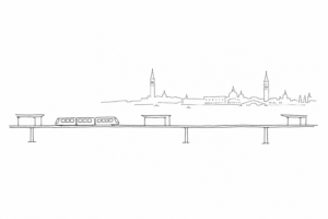
Its landscape is different from the monumental one of the center: garages, ramps, terminals, quays, connections toward Piazzale Roma and the port area. Precisely for this reason it tells an essential side of contemporary Venice: the city’s fragile beauty also depends on peripheral infrastructures, often little photographed, that regulate its access, supplies and daily movements.
From new island to necessary infrastructure
Tronchetto is not an ancient remnant of the lagoon, but a planned construction. Its origin must be read within the often traumatic transition from water mobility to road mobility. After the opening of the Ponte della Libertà in 1933, cars and buses could steadily reach the western edge of the historic center; Piazzale Roma, conceived as a land terminus, soon became a bottleneck.
In the 1950s and 1960s, it was therefore decided to create a new surface through land reclamation: a functional island, without squares or churches, intended to intercept vehicles before they saturated the main access point. The name “Tronchetto” recalls the elongated and compact shape of this artificial body, more similar to an operational platform than to a district.
Its importance lies precisely in this unscenic nature. Here motorized modernity is held back, ordered and transformed into flows compatible with an urban fabric that cannot be crossed by cars. In this sense Tronchetto is a technical threshold: it does not end the journey, it changes its means.
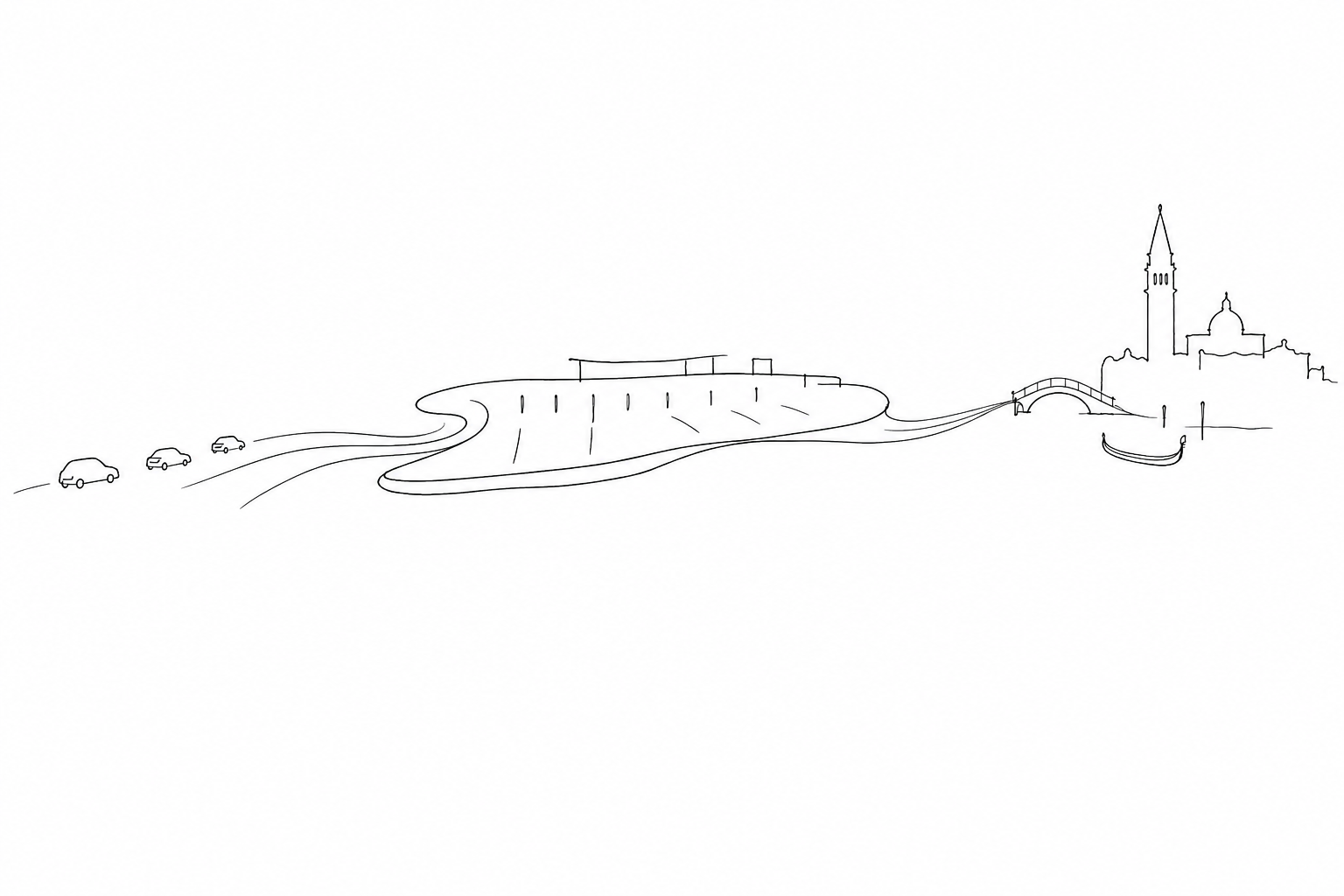
Parking areas, terminals, water: reading the logistical landscape
To understand Tronchetto, it is useful to look at it not as a simple parking lot, but as an interchange machine. The ramps, the multi-storey car levels, the spaces for tourist coaches and the maneuvering areas show the point where road traffic is stopped before entering the historic fabric.
The landscape here speaks a different language from that of the squares and internal canals: wide lanes, signage, quays, landing stages, fences, technical volumes. Even the water is not scenery: it is an operational route, alongside which connections, loading, unloading and passages toward other nodes are organized, including Piazzale Roma and the maritime area.
A useful detail is to observe the levels and the edges. The driveable surfaces are designed for heavy vehicles and orderly flows; the banks, instead, remind us that every arrival must be translated into lagoon or pedestrian movement. In this contrast one reads the less celebrated side of Venice: the one that sorts vehicles, luggage, groups, light goods and services without letting them invade the monumental part.
During a short stay, Tronchetto is best understood in the minutes of transit: arrival by car or coach, boarding the People Mover toward Piazzale Roma, embarking on lagoon transport or waiting for groups with suitcases. Do not look for a monument: the value lies in the threshold.
It is worth noting a historical fact: this artificial surface was built in the 1960s, at the western end of the historic center, to absorb road traffic and parking without pushing cars beyond the permitted limit. It is therefore a modern response to an ancient problem: making land access and pedestrian fabric coexist.
- Look at it from above, if you cross the ramps: you will understand the scale of the parking areas compared with the nearby canals.
- Observe the loading passages: luggage, light supplies, groups and staff show the tourist back office.
- Compare it with the final arrival: a few minutes later, the noise of the engines gives way to bridges, waterfronts and calli.
For updated connections and methods, it is always advisable to check the official information before leaving.
Tronchetto does not ask for a long visit, but for a different gaze. Before entering the dense fabric of calli and squares, or when leaving the city, it can become a useful observation point for understanding how Venice adapts, organizes and protects its own balance. Among ramps, vaporetti, quays and parking areas, the island tells of a discreet and necessary modernity: less scenic than the palaces on the Grand Canal, but decisive for understanding the city on water in its most concrete dimension.