
The Ponte della Libertà is the stretch where Venice stops being a distant image and becomes a city to truly reach. Between Mestre and the lagoon, the road and the railway run side by side on a suspended line, both functional and symbolic. Every arrival passes through here: tracks, lanes, buses, cars, travelers with suitcases and commuters who repeat the route every day. Understanding this bridge means observing Venice from its most concrete edge, where the mainland gradually ends and the water begins to define the landscape, history and the very way of entering the city.
The bridge as a threshold between Mestre and Venice
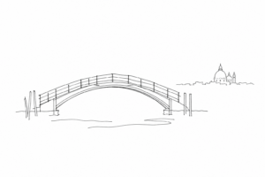
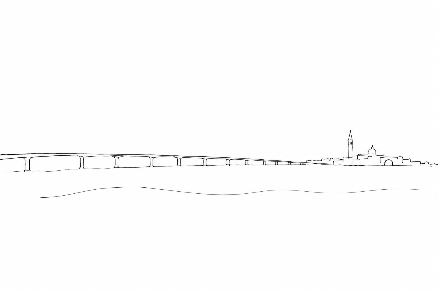
Arriving in Venice from the Ponte della Libertà means crossing a physical and mental boundary. From Mestre the road progressively leaves the mainland, then the lagoon opens up on either side: it is not yet the historic city, but it is no longer the continuous urban landscape of Veneto. This suspended passage, about four kilometers long, prepares the eye for a city that is not reached by “entering” a center, but by advancing over the water.
The road bridge was inaugurated in 1933, beside the older nineteenth-century railway connection, and after the Second World War it took on its current name. Its practical function is clear: it brings cars, buses and services as far as the Piazzale Roma area, while the tracks lead toward Santa Lucia. But its perceptual value is just as strong.
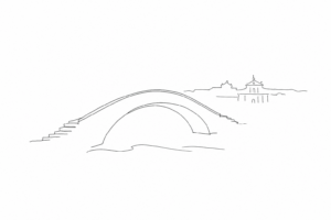
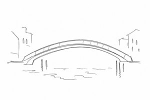
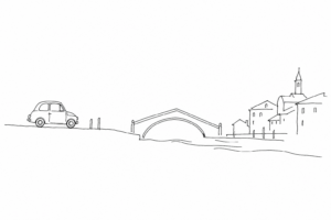
During the journey, proportions change: the lagoon replaces the façades, the horizon lowers, bell towers and Venetian outlines emerge in the distance. The Ponte della Libertà is therefore the first architecture of arrival: a linear threshold that makes the separation between land and city of water visible.
The history of modern access to Venice begins before automobiles. In 1846, during Austrian rule, the first railway bridge over the lagoon was completed: a structure that allowed trains to reach the Venetian station directly, transforming an arrival that until then had been linked almost only to navigation.
Almost a century later, between 1931 and 1933, the engineer Eugenio Miozzi designed the road connection alongside the railway. At its inauguration it took the name Ponte Littorio; after the Second World War it was renamed Ponte della Libertà. The change of name also tells of the changing political context, without altering the main function of the work: to unite the mainland with the island city.
The lagoon carriageway made it possible to arrive by road as far as the Piazzale Roma area and, later, toward the service spaces of the western Venetian edge. For this reason the route is not only an infrastructure: it marks the historic transition from Venice reached by water or by railway to Venice stably connected to the land mobility of the twentieth century.
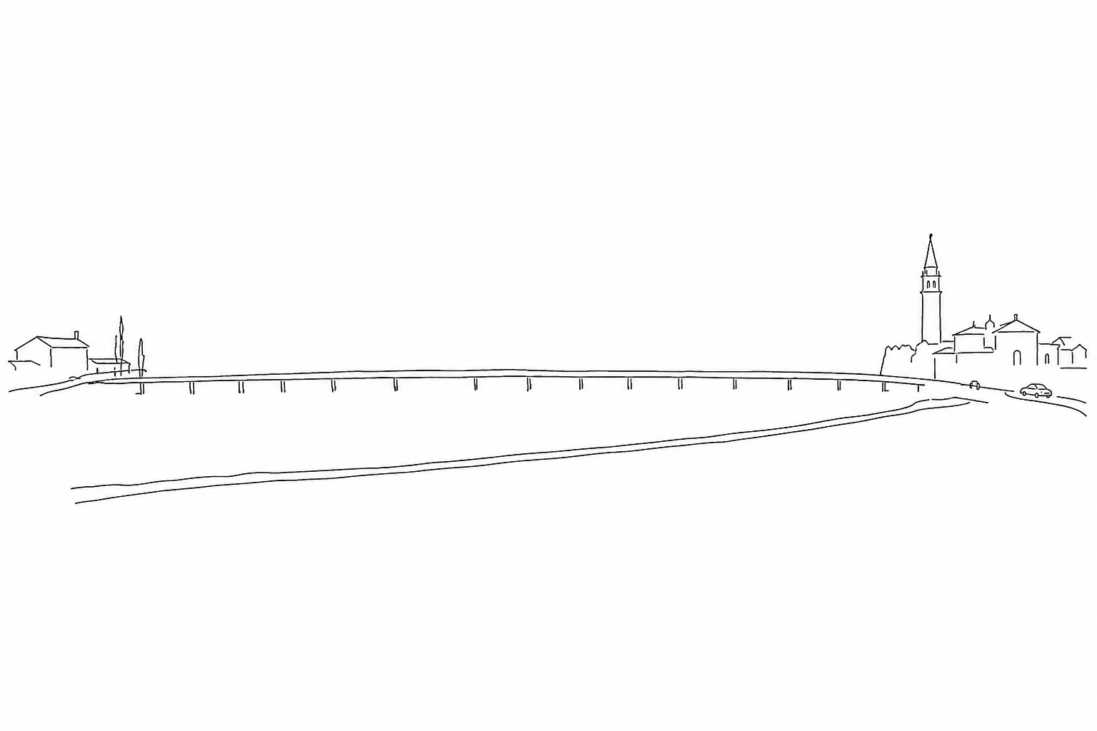
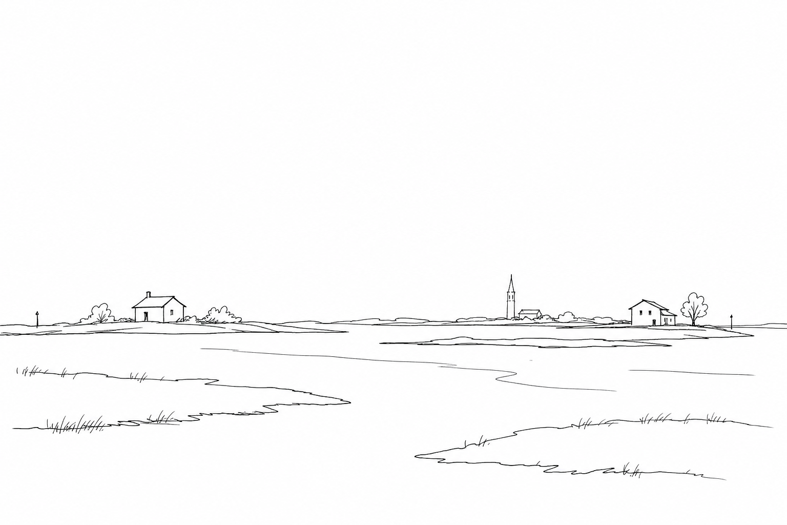
During the entrance from the mainland, the landscape changes by degrees: first warehouses, junctions and tracks recede, then the eye finds an almost horizontal space, made of shallow water, channels and markers driven into the seabed. It is here that the route becomes legible: not a simple straight line, but an artificial line laid on a mobile environment.
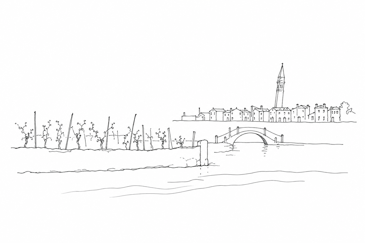
Looking carefully, you can distinguish the bricole, the posts that indicate the navigable routes, and the muddy surfaces that emerge or disappear according to the tides. Farther away appear the industrial silhouettes of Porto Marghera, cranes, chimneys and port structures: they remind us that modern access to the historic city coexists with a productive area born right on the lagoon edge.
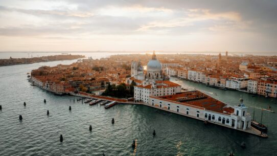
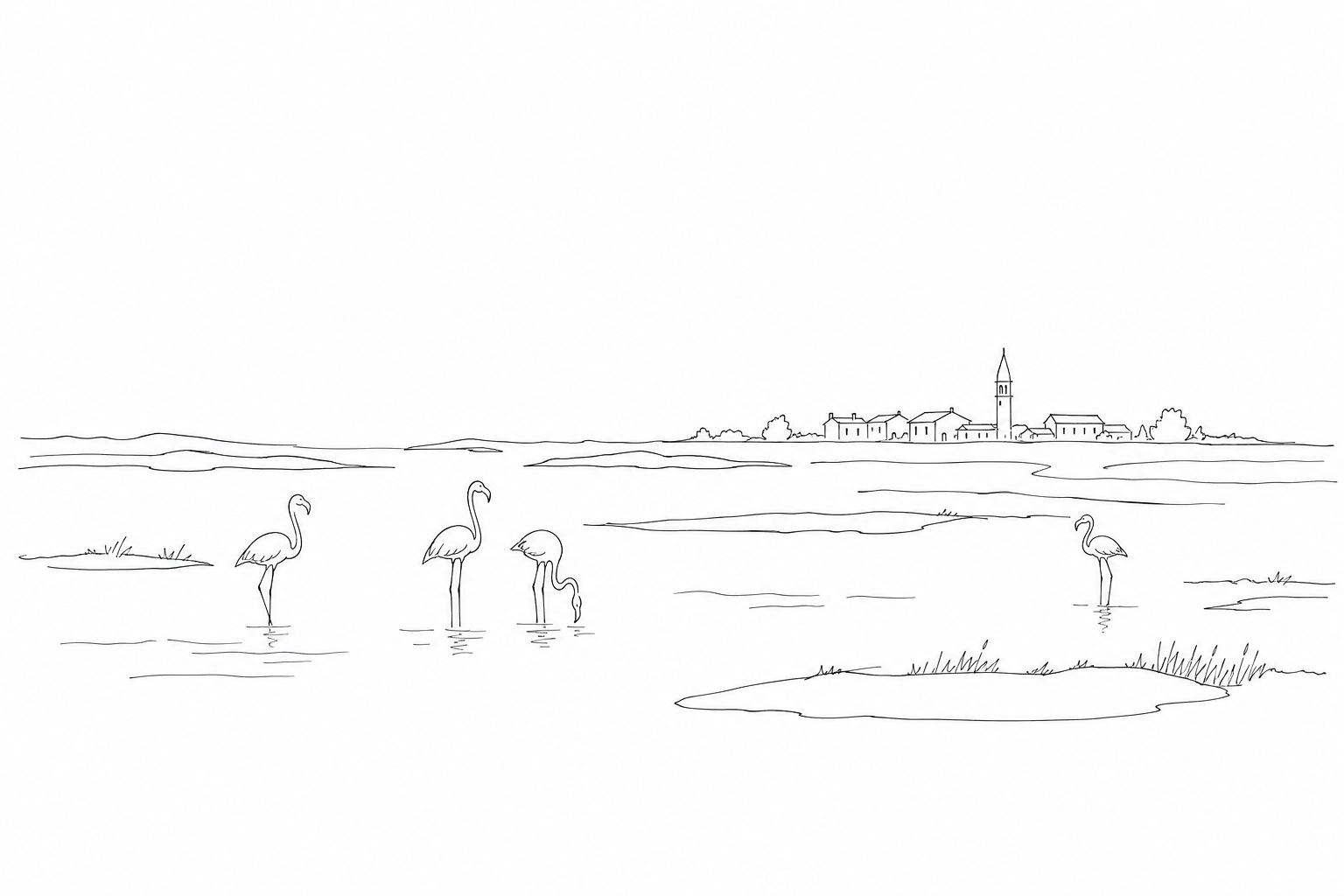
As you approach, the urban profile becomes denser: bell towers, domes and low façades do not appear suddenly, but emerge slowly. This visual passage helps explain why arriving in Venice by road means crossing a threshold: not only a geographical one, but also a perceptual one.
Arriving: train, car, bus and first step into the city
Crossing the Ponte della Libertà does not mean everyone arrives at the same point. The route clearly separates railway and road traffic, and this distinction is useful for orienting yourself even before getting off.
- By train: the track ends at Santa Lucia station. Leaving the building, you immediately find yourself in front of the Grand Canal, with the vaporetto stops and the pedestrian route toward Lista di Spagna and Cannaregio.
- By car: vehicles do not enter the historic fabric. The reference point is the Piazzale Roma area, or the island of Tronchetto, connected to the routes toward the center. From here you continue on foot or by water transport.
- By bus or tram: the usual urban arrival point is Piazzale Roma, a transfer hub between road transport, walking and internal navigation; lines and stops should always be checked before departure.
The first step therefore changes depending on the means of transport: from the station you enter the scene of water, from Piazzale Roma you perceive the boundary between modern road traffic and calli, from Tronchetto you advance by degrees toward the compact city.
Crossing the Ponte della Libertà means measuring Venice even before entering it: in its physical limits, in the connections that keep it joined to the mainland, in the constant tension between access and fragility. Whether you arrive by train, car or bus, the last stretch toward the city is already part of the experience: not a simple infrastructure, but an urban and lagoon threshold. Looking at it carefully helps you better understand even the first step in Venice, when the journey changes rhythm and the land gives way to water, to calli, to bridges and to a landscape built over the centuries.