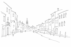
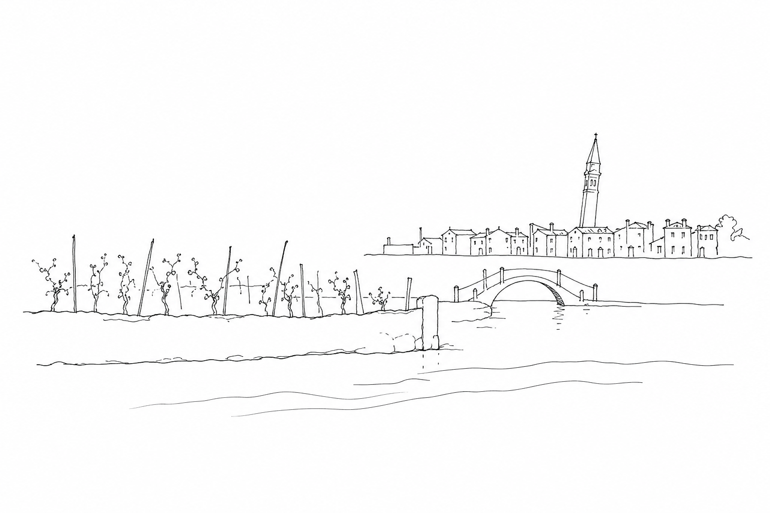
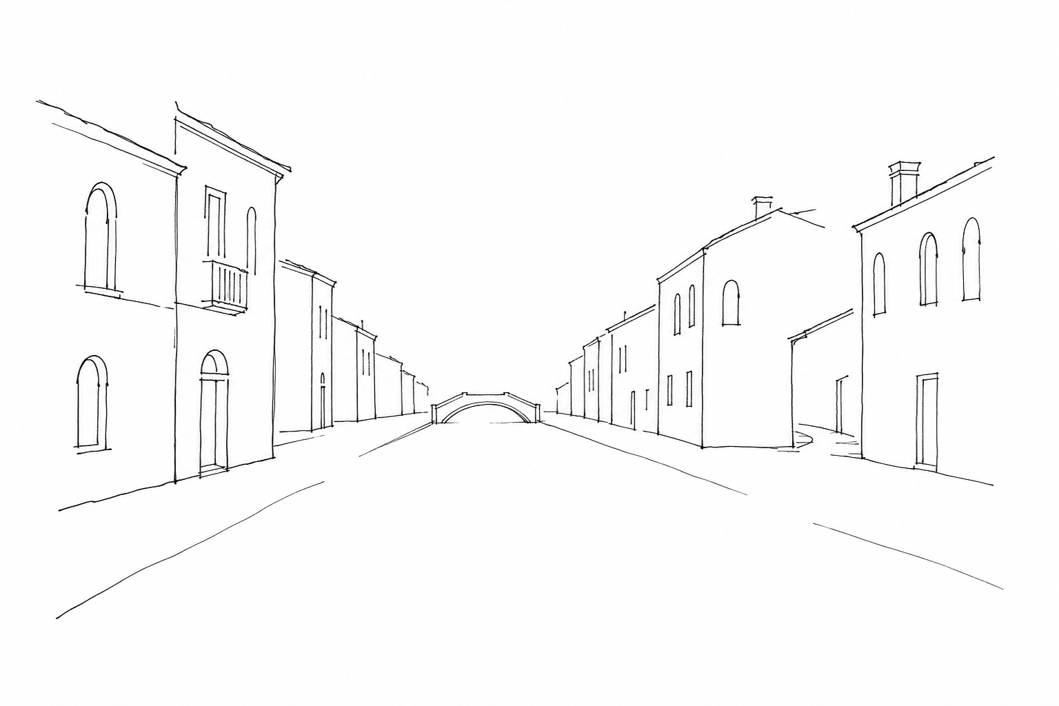

Strada Nova is one of Venice’s most evident and least observed urban transformations. It crosses Cannaregio like a direct, almost modern axis, in a city accustomed to broken routes, detours and passages over water. Created to simplify the connection between the station, Rialto and the heart of the city, it changed the way of moving through the sestiere and, in part, of perceiving it. Walking it does not mean only following a convenient street: it means reading a nineteenth-century intervention within an older fabric, among adapted buildings, open campi, shops, daily flows and details that tell of a practical Venice, crossed through, continually renegotiated.
What Strada Nova is
Strada Nova is the large pedestrian axis that crosses Cannaregio from west to east, connecting the area of Santa Lucia railway station with the route toward Rialto and the historic center. The name, “new street,” is not accidental: it indicates a modern transformation within a city traditionally made of narrow calli, bridges, campi and routes broken by water.
Its importance arose in the nineteenth century, when the arrival of the railway made a more direct and legible itinerary necessary for entering Venice on foot. To create this urban corridor, passages were widened, sections straightened and some rii filled in, transformed into rio terà, that is, streets obtained over ancient canals.
Crossing Cannaregio along Strada Nova therefore means reading a Venice adapted to modern mobility: not a simple commercial route, but an urban break that changed times, orientation and perception of the sestiere.
A route created to make Venice easier to cross
The nineteenth-century birth of Strada Nova should be read within a Venice that, after centuries of predominantly water-based mobility and minute routes between calli and campi, began to think in terms of rapid crossing. The arrival of the railway at Santa Lucia, in the mid-nineteenth century, made a legible pedestrian connection between the city’s land entrance and the Rialto area even more urgent.
To obtain this axis, work was carried out on the fabric of Cannaregio with operations that were very incisive at the time: filling in rii, straightening, widening and targeted demolitions. The “rio terà” that still appear in the toponymy recall precisely canals transformed into walkable ground, as happened in various parts of the sestiere to create a more direct continuity.
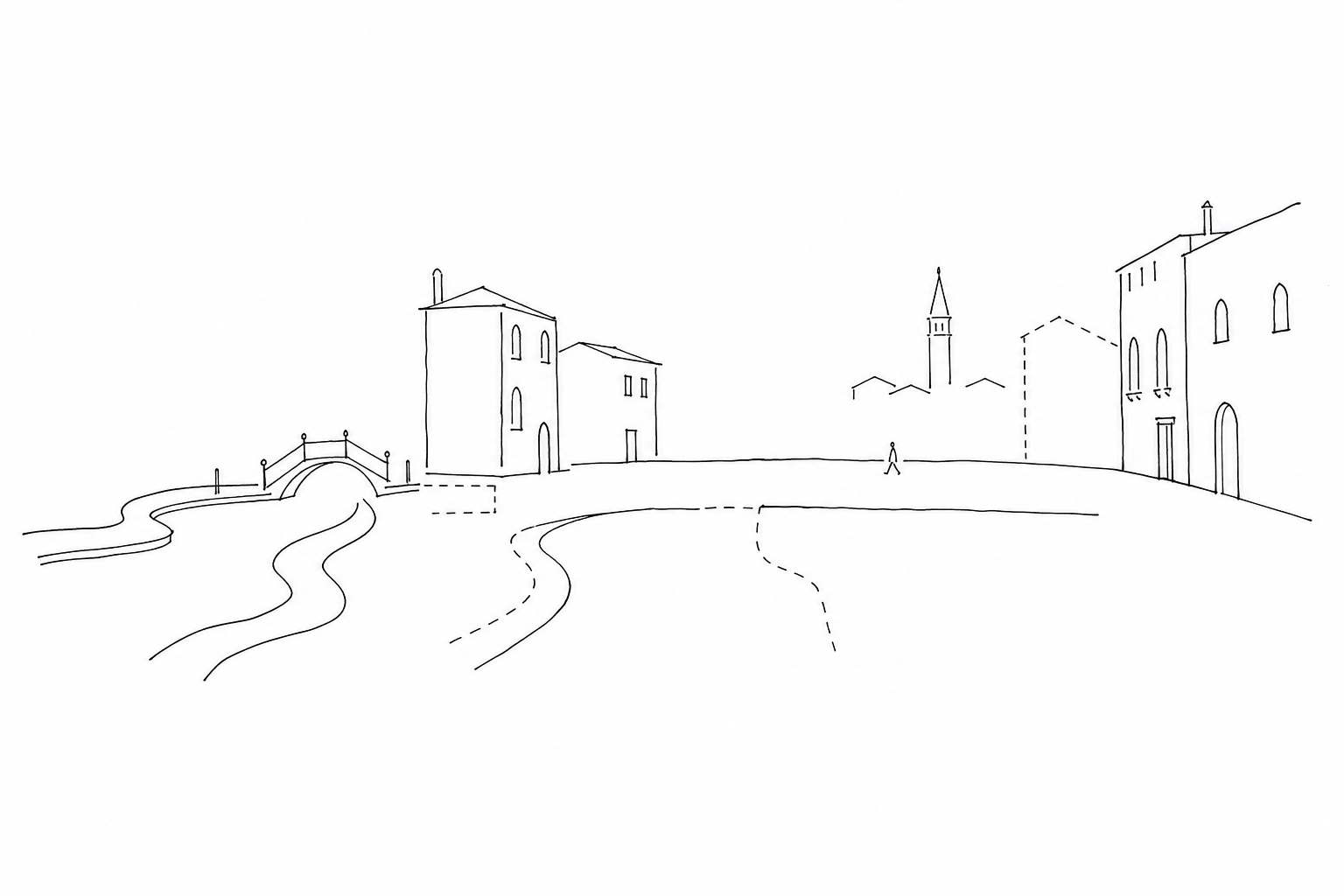
The result was not only a more convenient itinerary. It changed the way Cannaregio was perceived: from a set of parish nuclei connected by side passages to an urban corridor capable of concentrating flows, shops and orientation. Nineteenth-century Venice thus introduced a new, less labyrinthine logic, destined to influence permanently the daily movement of residents and travelers.
What to observe while walking
To really read this axis, it is better to look less at the shop windows and more at the junctions: here the nineteenth-century route can be recognized in the wide and relatively straight stretches, but also in the points where it has to bend in front of the pre-existing city.
- The rio terà: names such as San Leonardo or della Maddalena recall filled-in canals. The pedestrian paving is therefore not “natural,” but the result of a precise urban transformation.
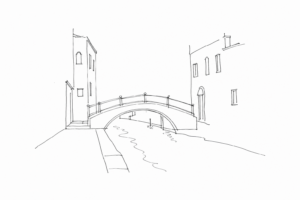
- The Ponte delle Guglie: near the canal of the same name, it clearly shows the encounter between water mobility and passage on foot; the decorative spires help to recognize an ancient node reabsorbed by the modern route.
- The side campi: San Geremia, Santa Fosca and the Maddalena preserve the logic of the parishes, with more open spaces oriented around churches, wells and façades.
- The misaligned façades: Gothic houses, minor palaces and commercial fronts do not form a regular boulevard; they reveal adaptations, cuts and earlier wall continuities.
Walking from Lista di Spagna toward Santi Apostoli, the eye thus catches a constant negotiation: an itinerary designed to speed up crossing, yet inserted within a much older weave.
Using it well means alternating pace and detour. The route still functions as a rapid connection between the railway, Rialto and the Santi Apostoli area, but its historical meaning emerges when the automatism of passage is interrupted. It is useful to recognize the rio terà, stretches obtained by filling in ancient canals: they are not simple wide streets, but urban seams created to produce continuity where water previously imposed turns, bridges and different times.
A practical reading can proceed by thresholds: Lista di Spagna preserves the beginning linked to modern arrivals; San Leonardo shows the commercial widening; toward Santa Fosca and San Felice, campi, churches and side streets return, recalling the pre-existing parish network. Entering a secondary calle for a few minutes helps to measure the gap: noise, light and the scale of the buildings change immediately. In this way the axis does not become only a shortcut: it remains a walkable document of a nineteenth-century transformation that made linear a district born fragmented.
Reading Strada Nova today means accepting its double nature: crowded shortcut and urban document, daily space and trace of a Venice that modified itself in order to remain practicable. Walking it attentively makes it possible to grasp what often escapes notice: the measure of the campi, the surviving façades, the nineteenth-century cuts, the continuous relationship between movement and memory. It is not a lesser Venice, nor only a thoroughfare. It is one of the places where the city shows most clearly how tradition and modernity, in Venice, are not opposites but materials intertwined in the same route.