
For visitors to Venice, high water is often more an image than a real experience: St. Mark’s Square shiny with water, walkways, boots, reflections on the marble. On a day of sustained tide, however, the city does not stop, nor does it turn into a permanent emergency scene. What changes instead are the timing, some passages, the way of reading the different levels of calli, waterfronts and campi. Understanding what really happens helps you move with less anxiety and more attention, observing a Venice that has been used for centuries to measuring itself against the lagoon.
High water does not mean Venice submerged
For visitors to Venice, the first thing to clarify is that high water does not automatically mean a city underwater. It indicates a temporary rise in the level of the lagoon, measured against the tide gauge zero of Punta della Salute, the historical reference used in the city. The effects vary greatly from area to area: some low points, such as the San Marco area, can get wet earlier, while many calli normally remain walkable.
On a day of sustained tide, the transformation is often partial and linked to time slots. The water may rise in some areas, remain for a limited period and then withdraw as the tide falls. This explains why an itinerary may require detours, but does not necessarily have to be cancelled.
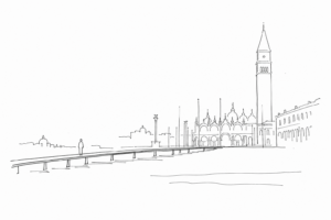
The walkways, when set up, are there precisely to maintain pedestrian connections in the most exposed stretches. To interpret the situation correctly, it is useful to distinguish between localized inconvenience, slowdowns along routes and exceptional cases, much rarer, in which the event involves a large part of the city.
Where it is noticed first: San Marco, low waterfronts and passages near the rii
On a day of sustained tide, visitors perceive the first changes in the lowest points and those closest to the open lagoon. St. Mark’s Square is the most obvious reference: the basin in front, the wide and almost horizontal paving, the slight slopes toward the Procuratie and toward the basilica immediately make the shiny patches between the masegni visible.
The phenomenon, however, does not appear in the same way everywhere. On the low waterfronts, for example along stretches exposed to the St. Mark’s Basin or near the landing stages, the water may rise from the edges and first occupy the bands closest to the canal. In the sottoporteghi and in passages next to the rii, on the other hand, a smaller-scale effect is often noticed: small puddles, reflections under the arches, wet steps, thresholds that become points to cross with care.
These signs help you read the day without alarmism: they do not necessarily indicate a general interruption, but show which routes will require detours, walkways when present, or simply more time.
Routes, timing and stops: the rhythm becomes more flexible
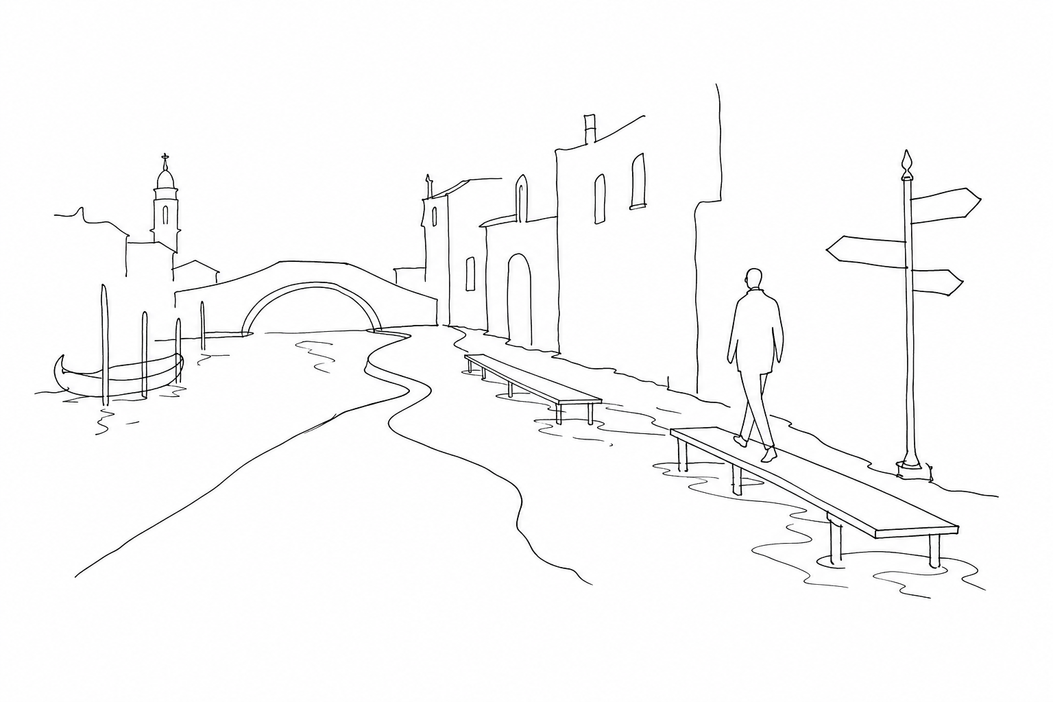
With high water, the visit does not stop: above all, the pace changes. An itinerary built down to the minute, with many closely spaced stops, becomes fragile because each crossing may require a detour, a queue on the installed walkways or a stretch to be tackled more slowly along the fondamente.
It is better to think in compact areas, not in a list of monuments. If you enter a museum, a church or a historic palace, that pause can also become useful for waiting for the level outside to drop. In the same way, an early lunch or a coffee in a less exposed campo can avoid unnecessary movements at the most inconvenient moments.
- Reduce changes of district: it is better to complete one area before moving on to another.
- Allow wide margins: bridges, sottoporteghi and boarding points can slow things down.
- Keep an alternative plan: an internal route may prove more practical than a panoramic waterfront.
The result is a less linear visit, but often one more attentive to the small details of the urban lagoon.
A city that lives with the tide
To truly understand a sustained episode, you need to look at Venice from below: not as an invaded stage set, but as an organism built on different levels. The same variation that wets a sottoportego may leave a nearby calle dry; a fondamenta overlooking the rio feels the lagoon level first, while an internal route may remain practicable.
This explains why high water does not appear everywhere in the same way. St. Mark’s Square is one of the most sensitive points because of its reduced level and its direct relationship with the basin; elsewhere, micro-level differences, steps, bridges, masegni paving and ancient successive raisings count. Even manholes that seem to “rise” do not indicate a leak: often it is the pressure of the lagoon entering from below into the urban fabric.
For those observing, the interesting fact is this minute geography: thresholds, waterfronts, water doors, ground-floor warehouses tell of centuries of daily adaptation, without turning every tide into either an emergency or folklore.
A day of high water should not be reduced to an inconvenience nor idealized as a spectacle. It is a moment in which Venice clearly shows its amphibious nature: the Istrian stone, the masegni, the fondamente and the low entrances tell of a daily balance between built city and living water. For the visitor, it means slowing down, choosing more flexible routes, accepting a few detours and looking more closely at what usually slips by. The tide passes; what remains is the possibility of understanding Venice with a less automatic gaze.