
In Venice the word “tide” enters everyday conversations naturally: it is not just a weather figure, but a way of reading the city, its times and its spaces. For those arriving from elsewhere, however, numbers, sirens, maps and raised walkways can seem like emergency signals. In reality, in most cases, a few correct pieces of information are enough to understand what is happening and move around without anxiety. This article helps distinguish between forecast and alarm, between real inconvenience and amplified perception, observing Venice as a living urban environment, built over the centuries also to coexist with water.
What “tide” really means in Venice
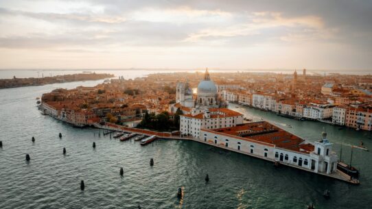
In Venice the word tide does not simply mean “water in the street.” It indicates the level of the lagoon in relation to a reference zero, historically connected to the tide gauge at Punta della Salute, near the San Marco basin. When a forecast speaks of 90, 110 or 130 centimeters, it is not saying that there will be that many centimeters of water everywhere: it is indicating the theoretical height of the lagoon level in relation to that reference.
Acqua alta is the moment when the tide exceeds the lowest levels of the city and water enters some calli, campi or quays. Not all of Venice floods in the same way: San Marco and the lowest areas are affected by the phenomenon first, while other areas remain dry even with sustained values.
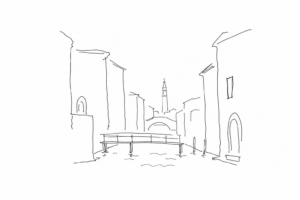

The forecast comes from the combination of the astronomical tide, that is, the natural cycle linked to the moon and sun, and meteorological factors such as sirocco wind, bora and atmospheric pressure. For this reason the number should be read as practical guidance, not as a reason to panic: usually the peak lasts for a limited time and changes from area to area.
How to read a forecast without becoming alarmed
The main figure is expressed in centimeters above the tide-gauge zero at Punta della Salute: it does not indicate the height in every calle, but the forecast level of the lagoon at a reference point. To understand it without anxiety, read three elements together: number, time of the peak and reliability of the source.
- Number: a few centimeters’ difference can change the effect in a low-lying area, but they do not automatically turn the whole city into an impracticable route.
- Time: the peak is the maximum moment. First it rises, then it falls: organizing movements half an hour or an hour later may be enough, depending on the case.
- Source: give preference to the Centro Previsioni e Segnalazioni Maree of the Municipality of Venice and updated bulletins. Be wary of screenshots without a date or forwarded messages.
Also look at the trend: sirocco wind, bora and pressure can modify the estimate, so a forecast always has a margin. If a close update appears, it counts more than the figure read many hours earlier.
A useful reading is practical, not emotional: which area do I need to cross, at what time, with which pedestrian alternatives? This question is worth more than the number taken on its own.
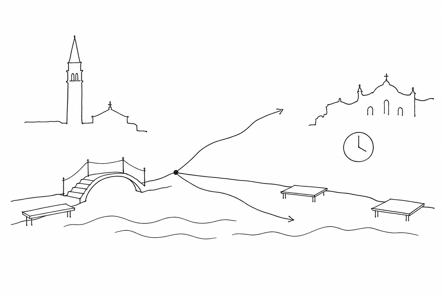
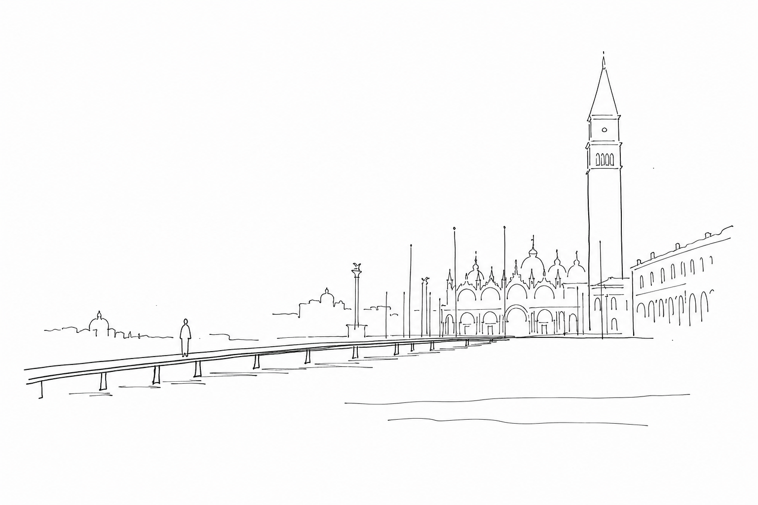
The raised walkways do not cover the whole city: they are designed to keep some strategic stretches passable, especially in low-lying and very busy areas. The best-known case is the San Marco area, where Piazza San Marco and the passages around the Basilica can flood before other areas. Other routes may concern connections to landing stages, pedestrian hubs and necessary crossings, but the actual arrangement changes according to conditions and the organization at the time.
Using them well means not considering them a tourist shortcut. You walk in line, with a regular pace, avoiding stops for photographs in narrow points. Anyone pulling trolleys, strollers or wide bags must pay attention at intersections: one slowdown is enough to create a queue. If a stretch is already crowded, it is often better to wait a few minutes or choose a side calle indicated by the staff on site.
The raised walkways help, but they do not make every itinerary guaranteed. With very high levels, wind or wave motion, some segments may be impracticable or not be laid down. For this reason the useful orientation is simple: first identify the low-lying district to cross, then check on site whether the raised route is actually available.
Simple choices for moving around calmly
For a short visit, the best criterion is to think in terms of priorities: do not try to “beat” the forecast level, but choose a few stops close to one another and with alternative routes. If the bulletin indicates a peak in the time slot when you should cross low-lying areas, bring that movement forward or postpone it and use the central interval for indoor activities.
- Look at the time of the maximum: often the greatest inconvenience lasts less than the whole day, so the critical time slot matters, not just the number in centimeters.
- Reduce changes of sestiere: bridges, narrow calli and low fondamente slow things down a great deal when queues form on the raised walkways.
- Do not rely only on shoes: low boots or improvised shoe covers are of little use if the water rises beyond the forecast.
- Check the landing stages: some public transport stops may undergo temporary adjustments; always check the operator’s updated notices.
The practical rule is simple: fewer stops, wide margins and no hurry on obligatory passages.
Reading the tide in Venice means learning to observe concrete details: the time of the peak, the forecast height, the lowest areas, the presence of raised walkways, the time margin for moving around. There is no need to turn every variation in the water into a problem, nor to ignore it as if it were folklore. With suitable shoes, routes chosen sensibly and a little attention to official communications, the city remains traversable and understandable. Indeed, understanding the tide allows you to better grasp the fragile and precise relationship between stone, lagoon and daily life that makes Venice different from any other city.