
Those who arrive in Venice almost always think of the lagoon, the bridges, the islands. Yet a decisive part of its defensive history is better read on the mainland, among Mestre, waterways, residential neighborhoods and green areas. The Entrenched Camp of Mestre is one of those places that do not immediately impose themselves on the eye: you have to know what to look for. Fort Gazzera and Fort Carpenedo, in particular, help to understand how Venice tried to protect itself when war no longer came only from the sea, but also from the roads and countryside behind it.
What the Entrenched Camp of Mestre is
To understand Fort Gazzera, Fort Carpenedo and the other military structures scattered across the Venetian mainland, you have to start from a simple idea: Venice, in the age of modern artillery, could no longer defend itself with the lagoon alone. The danger also came from the north and west, along roads, railways and countryside leading toward Mestre.
The Entrenched Camp of Mestre was born for this reason: a system of 12 forts designed to protect Venice from the landward side. It was not a single fortress, nor a continuous city wall, but a network of works spaced apart from one another, capable of controlling the territory and creating a defensive belt before access to the lagoon.
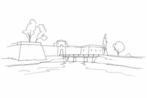
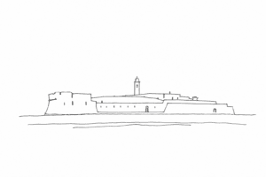
Its overall shape is particularly interesting: the forts are arranged in two defensive semicircles, placed at different distances from Venice. The first ring belongs to the oldest phase of the system; the second responds to the evolution of military techniques and to the need to move the line of protection farther away.
Today this ensemble is one of the most relevant cases in Italy of military archaeology between the nineteenth and twentieth centuries. It is not read as an isolated monument, but as a landscape: embankments, moats, roads, waterways and neighborhoods that grew around structures built to remain low, functional, almost absorbed by the ground.
Fort Gazzera: the original core between the Marzenego and Rio Dosa
Fort Gazzera belongs to the first core of the Entrenched Camp, together with Fort Carpenedo and Fort Tron. It is therefore one of the works from which the history of Venice’s modern land defense begins: not a peripheral addition, but one of the system’s initial points.
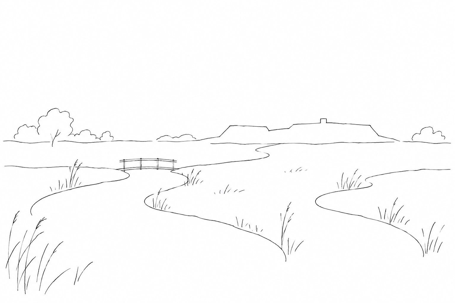
Its position helps to explain the military logic of the place. The fort occupies an area of about 15 hectares between the Marzenego river and the Rio Dosa, two bodies of water that are not simple elements of the landscape. In a nineteenth-century fortification, canals, moats, embankments and ground levels work together: they slow the approach, protect the structures, and make the construction less legible from afar.
For this reason, Fort Gazzera should be observed more in plan than in height. Its form is typical of the first-generation forts of the Entrenched Camp: a low profile, a moat, masses of earth that absorb the military buildings and make them seem part of the ground. Anyone looking for towers, battlements or scenic facades risks missing the point. Here architecture works by subtraction: what matters is what does not protrude, what defends itself by remaining almost at the level of the countryside.
Compared with a purely historical visit, Gazzera also has a very concrete landscape value. Its relationship with the Marzenego and the Rio Dosa allows one to read the Mestre mainland before the urban expansion of the twentieth century: waterways, green edges, service routes and open spaces created for military reasons, then reused by the city.
Today the fort is also the venue for public initiatives and events. Before organizing a visit, it is advisable to check the updated calendar of the Municipality of Venice, because access, openings and activities may vary according to the program.
Fort Carpenedo: the low fort that almost disappears into the ground
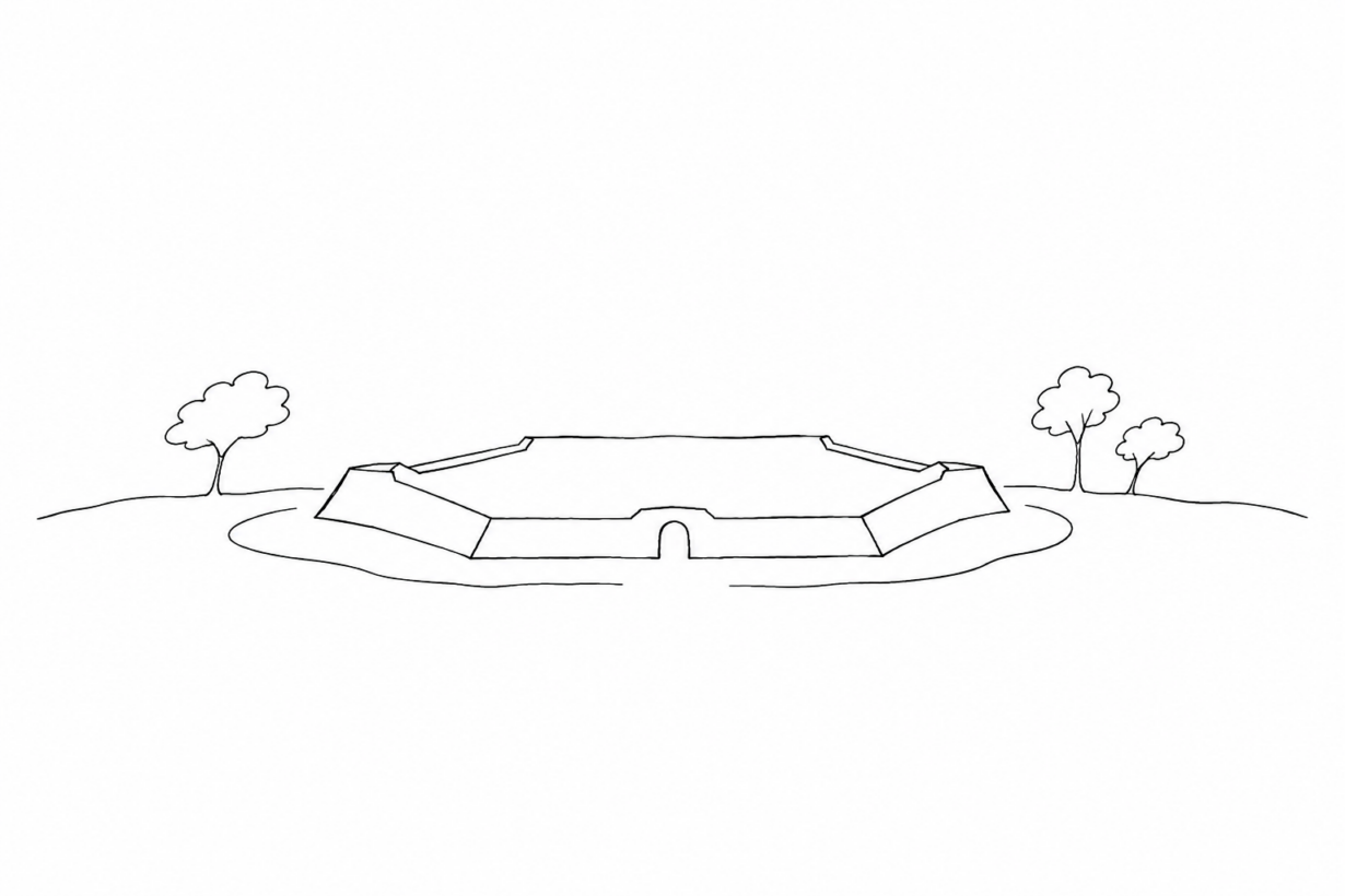
Fort Carpenedo, at via Vallon 101 in Mestre, helps to show what may escape notice at Fort Gazzera: these works did not want to dominate the landscape, but to blend into it. Its lowered outline, embankments and moat tell of a precise choice in nineteenth-century military engineering: to offer as small a target as possible to artillery, allowing only what was needed for defense to emerge from the ground.
The hexagonal plan is one of the key elements. It is not a decorative form, but a functional geometry, designed to control several directions and connect fronts, curtains and internal spaces. From a distance the complex could appear almost like an agricultural rise, while up close it revealed a highly constructed organization: perimeter moat, protective masses of earth, service rooms and routes calibrated for men, ammunition and artillery pieces.
It is here that one understands why Carpenedo is described as Gazzera’s twin. The kinship is not just a manner of speaking: they belong to the same initial core of the Entrenched Camp and share layout, low profile and defensive logic. The differences are in the construction details. Gazzera, for example, is distinguished by covered connections with the central traverse and by two powder magazines on the attack front; Carpenedo, however, remains essential for reading the original model in its clearest form.
For access, public information reports opening on Saturdays by reservation: before planning a visit, it is best to check the updated arrangements, because the opening times may depend on management and work in progress.
How to read them today: forts, parks and the memory of the mainland
To read them well today, one should not look for the isolated monument. The Entrenched Camp still functions as an urban defensive network: a set of works born on the edges of the city and later reached by roads, neighborhoods, parks and public uses. Fort Marghera, closer to the lagoon and to the route toward Venice, offers a useful comparison: there one better perceives the scale of the garrison and the relationship with water, barracks and access points; at Gazzera and Carpenedo, instead, the moats, rises, vegetation and the choice to lower the architecture into the mainland landscape stand out.
A slow visit allows this difference to be grasped. One can start from central Mestre, using Piazza Ferretto and M9 as contemporary reference points, and then move toward the structures of the Entrenched Camp: the shift is instructive, because in a small area one passes from the commercial and twentieth-century city to a belt designed to control countryside, access routes and lines of movement.
During the route it is worth observing three levels: the defensive geometry, the reuse as a park or venue for activities, and the material memory remaining in the moats, embankments and entrances. The differences between the surviving sites are not a flaw: they precisely tell of the long transformation of the Venetian mainland.
Looking at the Entrenched Camp from the mainland changes the mental map of Venice a little. The city’s defense did not pass only through canals and islands, but also through embankments, roads, fields and structures built to be effective rather than scenic. Fort Gazzera and Fort Carpenedo deserve attention precisely for this reason: they do not ask for a spectacular visit, but for a patient gaze. Those who read them together better understand Mestre, its relationship with the lagoon and that part of military history that often remains on the margins of the most traveled routes.