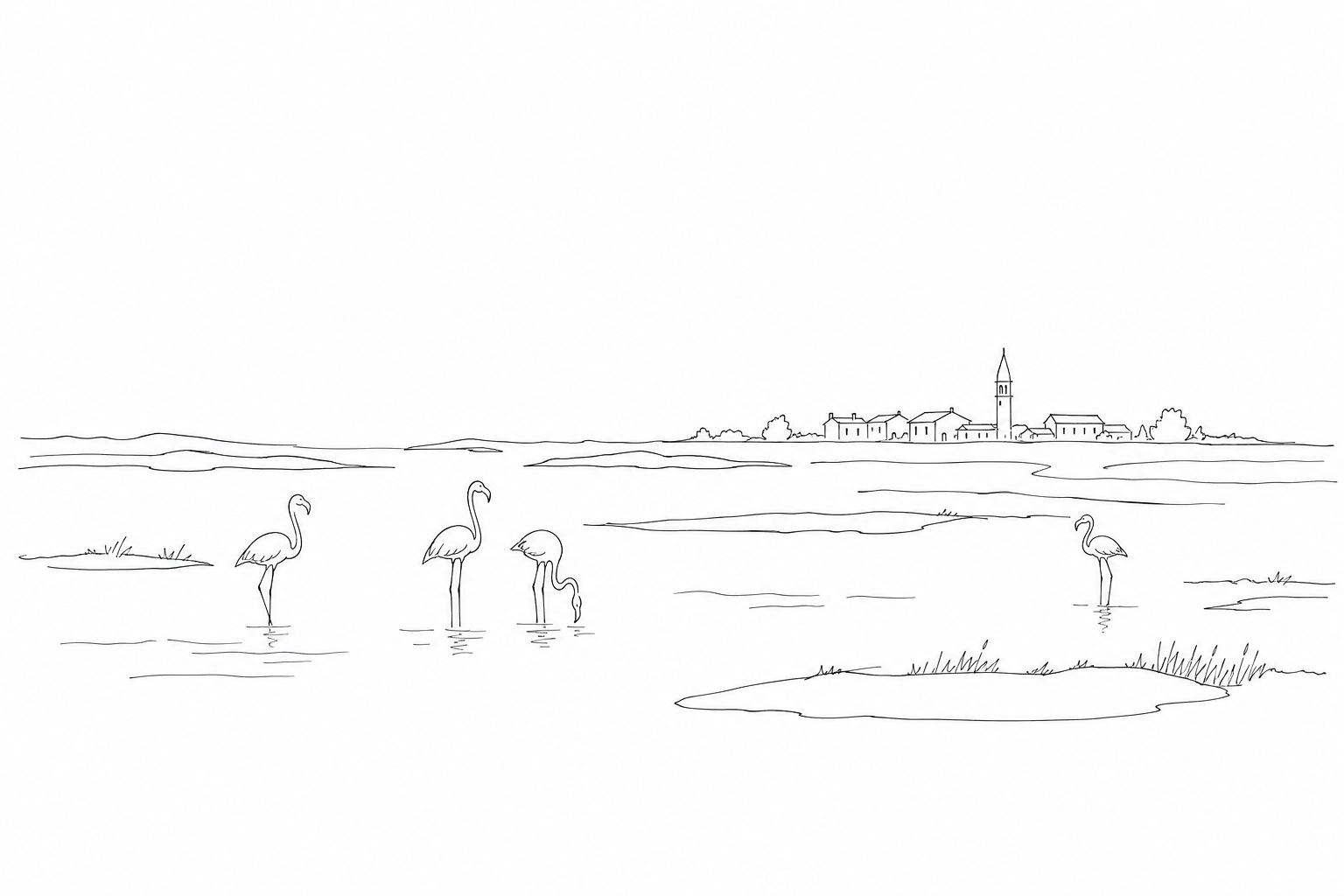
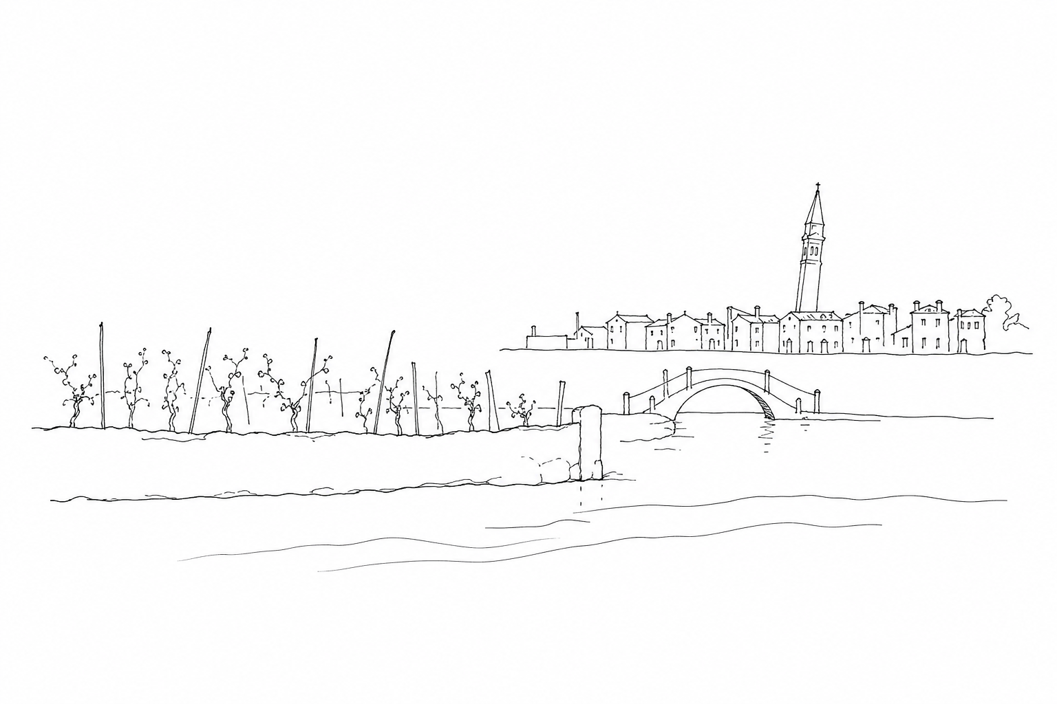
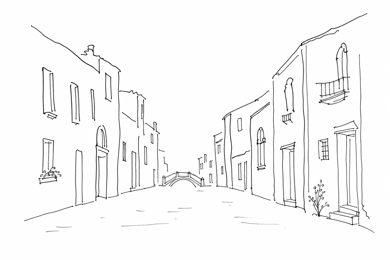

In Venice, the words used for streets often preserve the memory of water. A rio terà indicates exactly this: an ancient filled-in canal, transformed into a pedestrian route for practical, sanitary, or urban-planning reasons. Walking over it means crossing a city that has not remained still, but has continually adapted its balance between waterways, fondamente, bridges, and everyday spaces. Understanding why some streets were once canals helps you read Venice more precisely: not only as scenery, but as an urban organism built in layers, where even a name engraved on a sign can reveal a profound transformation.
What rio terà means
In Venice, the expression rio terà indicates a street created by filling in a canal. The word rio is the Venetian term for a smaller canal, different from the Grand Canal or the main canals; terà derives from “terrato,” meaning filled with earth and solid materials. In practice, where people walk today, water may once have flowed, with banks, small bridges, landing places, and small boats.
The name therefore preserves a precise trace of the previous city: it is not simply a street, but the result of an urban transformation. Many rii were filled in to obtain wider pedestrian routes, improve connections between campi and parishes, create new spaces in front of houses, shops, or public buildings, or solve hygiene problems linked to poorly circulating waters.
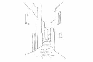
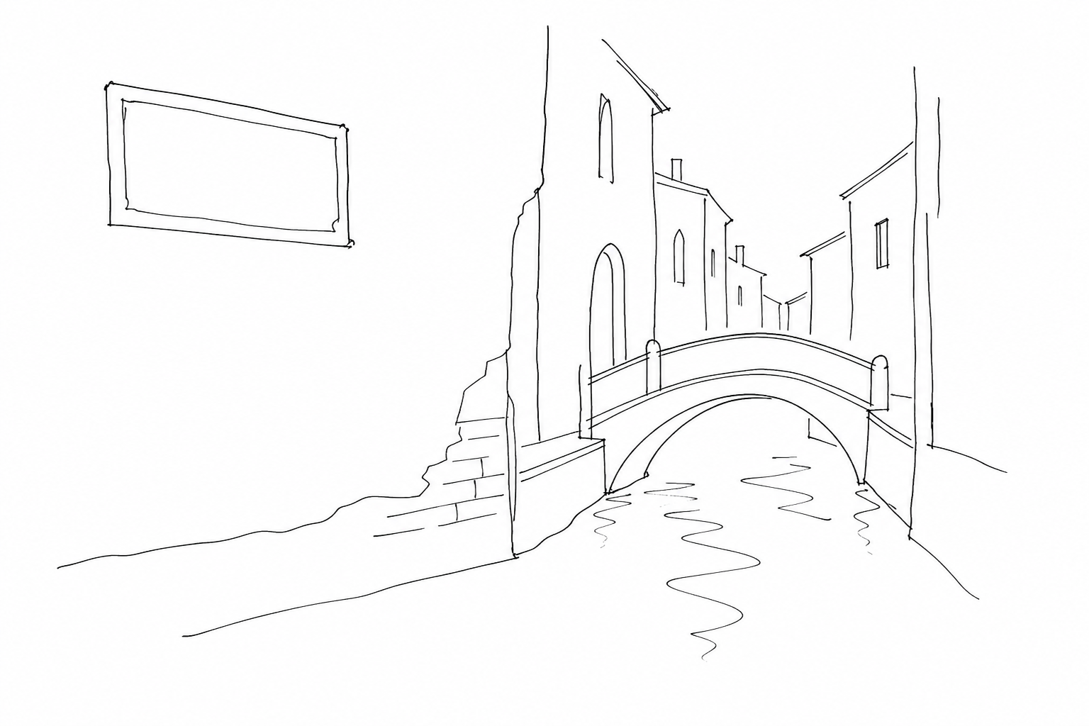
Reading “Rio Terà” on a street sign means recognizing a hidden memory: beneath the paving there is not necessarily a visible canal, but the imprint of an ancient water route remains.
Why some canals were filled in
The fillings-in were not an urban-planning whim, but a response to very concrete problems. In a city built on water, every rio required maintenance: dredging, removal of mud, consolidation of the banks, inspection of bridges and nearby foundations. When a watercourse became of little use for small-scale navigation, or too costly to maintain, it could be filled in and transformed into a pedestrian route.
One of the main reasons was hygiene. The narrowest secondary canals, especially in densely inhabited and artisanal areas, tended to collect wastewater, production residues, and stagnant water. Filling them in meant eliminating a critical point, improving the flow of people, and reducing bad odors and stagnation.
The need for space also mattered. Venice had little land available: closing a rio made it possible to obtain a new wide calle, a more regular campo, a direct connection between parishes, shops, and landing places. In some cases, the intervention facilitated the passage of handcarts, goods, and construction materials, less dependent on boats for short movements.
These transformations took place especially between the modern age and the nineteenth century, when administrative, sanitary, and road-related needs changed. This is why today many Venetian streets preserve the trace of a disappeared canal in their place names.
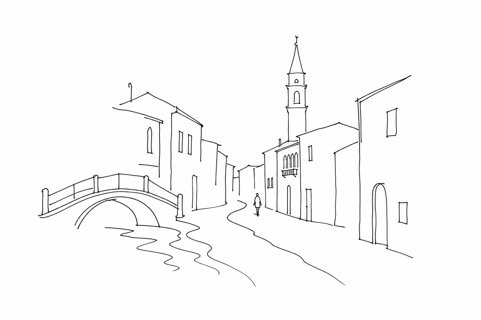
How to recognize a rio terà while walking
The first clue is often the name: if a calle is called rio terà, it almost always indicates the route of an ancient filled-in watercourse. The reading becomes more interesting by observing the shape of the street. Many of these routes are wider than an ordinary calle, have a slightly curved course, and follow a continuous line between two fondamente or between small campi that were once banks.
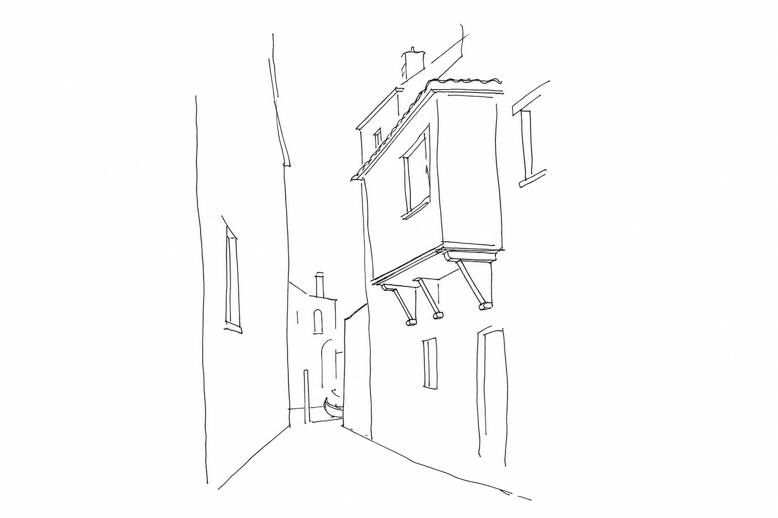
Another sign is the presence of bridges “without a rio” nearby: a bridge may remain to cross a branch that is still open, while the street beside it reveals the filled-in stretch. Buildings also help: low entrances, old Istrian stone banks, ground-floor warehouses, or façades oriented in an unusual way may indicate that water once reached in front of the houses.
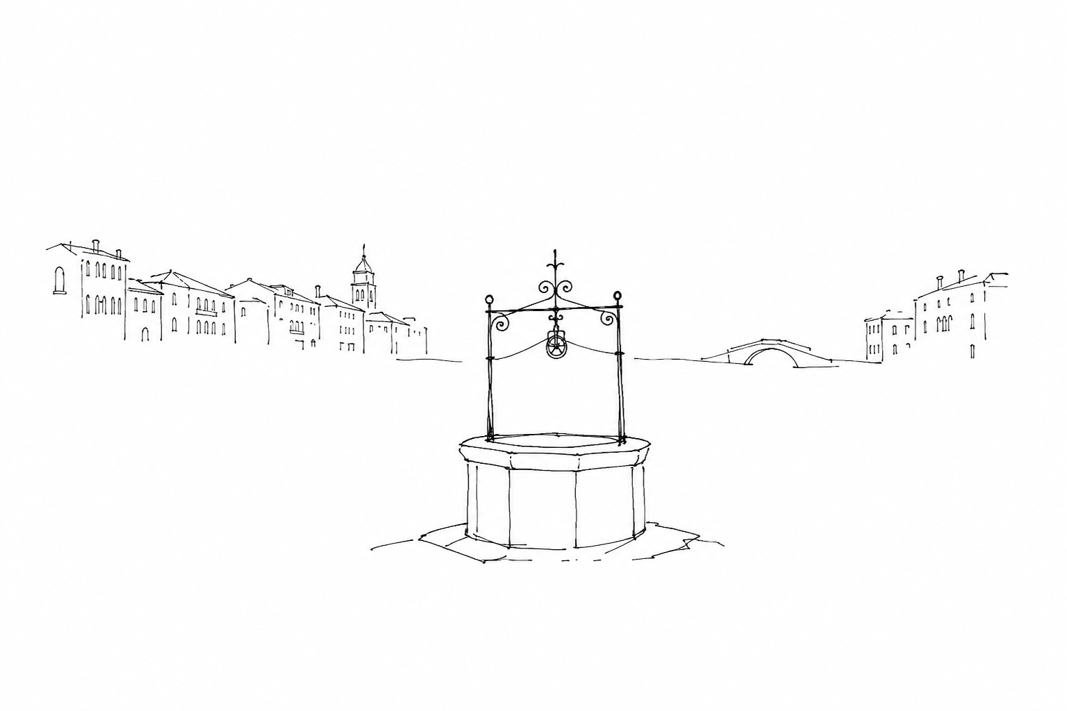
Finally, pay attention to minute place names: words such as fondamenta, ponte, ramo, and sacca tell of spatial relationships born when the main passage was liquid, not pedestrian.
Where to notice them: examples in the sestieri
The most readable examples are found in stretches that are very busy today, where the transformation has made a pedestrian route wider. In Cannaregio, Rio Terà Lista di Spagna and Rio Terà San Leonardo help explain how an ancient canal bed could become a shopping street, connecting the station, Strada Nova, and nearby campi.
In San Marco, Rio Terà de la Mandola preserves in its name the memory of a water passage in an area dense with narrow calli: precisely its relative width can suggest its different origin. In Santa Croce, Rio Terà dei Pensieri shows the same principle in a more marginal context compared with the monumental flows.
In Dorsoduro, between San Vio and the Foscarini area, other similar names recall specific reclamations. There is no need to turn them into mandatory stops: it is enough to notice them on the map and compare them with bridges, fondamente, and changes in perspective.
Recognizing a rio terà changes the way you walk in Venice. A slightly wider street, a straight route, a sequence of houses that seem to face onto a vanished void can suggest the presence of a filled-in canal. In the sestieri, these places tell of different choices: the need for space, hygiene, faster connections, new urban habits. They are not simple place-name curiosities, but concrete clues to the mobile relationship between water and stone. Observing them allows you to enter a less obvious Venice, made of minute and permanent transformations, where history is not only visited: it is walked upon.
Related Posts
Campiello, corte, ramo: a small sentimental guide to the words of the Venetian map
A short guide to reading Venice through the words of its nizioleti: campielli, corti, rami, calli, fondamenta and rii.Salizada: the oldest Venetian streets and the sign of routes that were already important
What a salizada indicates in Venice: origin of the name, paving, historic routes and urban interpretation among calli, campi and sestieri.
Piscina in Venice: when a name on the map recalls the water that can no longer be seen
A name in the nizioleti tells of filled-in basins, toponyms and Venice’s urban memory.Questions Answered
What does rio terà mean in Venice?
It refers to a street created by filling in a small canal.Why were some canals filled in?
Mainly for hygiene, maintenance cost reduction, and creating more pedestrian space.How can one recognize a rio terà today?
By street names, wider curved streets, remaining bridges, and building features.Where are notable examples of rio terà found in Venice?
In sestieri like Cannaregio, San Marco, Santa Croce, and Dorsoduro.
Venice can be read through its names
Would you like to connect calli, vanished canals and place names to read the city more closely?
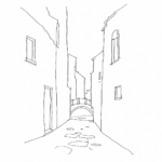 Salizada: the oldest Venetian streets and the sign of routes that were already importantWhat a salizada indicates in Venice: origin of the name, paving, historic routes and urban interpretation among calli, campi and sestieri.
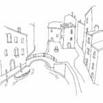 Campiello, corte, ramo: a small sentimental guide to the words of the Venetian mapA short guide to reading Venice through the words of its nizioleti: campielli, corti, rami, calli, fondamenta and rii.
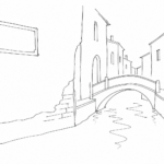 Venetian nizioleti: reading the names of the calli like a map written on the wallsGuide to Venetian nizioleti: origin, form, recurring words and practical use for finding your way among calli, campi, rii and sestieri.
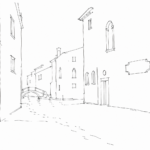 Piscina in Venice: when a name on the map recalls the water that can no longer be seenA name in the nizioleti tells of filled-in basins, toponyms and Venice’s urban memory.